Economic Revitalization Project · United Kingdom

Hereford Enterprise Zone Active
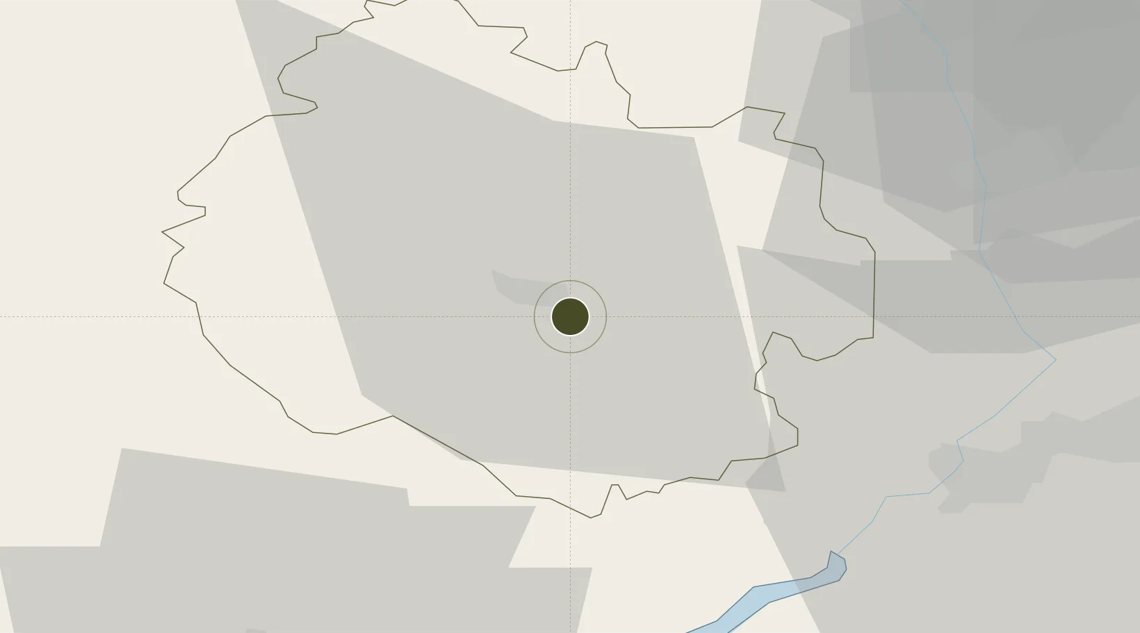
52.0368°, -2.6812°
28 ha
Zone area
38.1 km
Nearest port
38.6 km
Nearest airport

Gateway access

Nearest neighbours — logibook spatial index (haversine) over the source coordinates

Zone profile

Zone type
Economic Revitalization Project
Open Zone Map
Region
Herefordshire
Open Zone Map
Status
Active
Open Zone Map
Management
Public-Private Partnership
Open Zone Map
Operator
The Marches Local Enterprise Partnership
Open Zone Map
Legal framework
Local Government, Planning and Land Act 1980
Open Zone Map

Location

Location of ozm-4675
Natural Earth 10m (public domain) · Herefordshire · ozm-4675 · 52.04, -2.68GoogleOSMYandex

Nearby Logistics Neighbours

Ports
  1. 1Sharpness38 km
  2. 2Bird Port56 km
  3. 3Newport58 km
  4. 4Avonmouth60 km
  5. 5Bristol64 km
Nearest neighbours — logibook spatial index (haversine) over the source coordinates
Airports
  1. 1Gloucestershire Airport39 km
  2. 2RAF Cosford72 km
  3. 3RAF Fairford73 km
  4. 4Bristol Airport73 km
  5. 5Birmingham Airport79 km
Nearest neighbours — logibook spatial index (haversine) over the source coordinates
Cities
  1. 1Hampton Bishop2 km
  2. 2Moreton on Lugg7 km
  3. 3Bishops Frome16 km
  4. 4Llangarron17 km
  5. 5Newent22 km
Nearest neighbours — logibook spatial index (haversine) over the source coordinates
Trade Zones
  1. 1Ceramics Valley20 km
  2. 2Bristol Temple Quarter Enterprise Zone66 km
  3. 3Black Country Enterprise Zone72 km
  4. 4Birmingham City Centre Enterprise Zone72 km
  5. 5Mira Technology Park100 km
Nearest neighbours — logibook spatial index (haversine) over the source coordinates
DatabookThe Record of Consolidated Knowledge
United Kingdom beyond logistics?
Browse databook

All Sources

Trade ZonesOpen Zone Map
CC BY
Portsthe NGA World Port Index
Public domain (US gov)
AirportsOurAirports
Public domain
LocationsUN/LOCODE
UN/LOCODE — free
← United Kingdom trade zones