Large airport · Ireland

Cork International AirportEICK
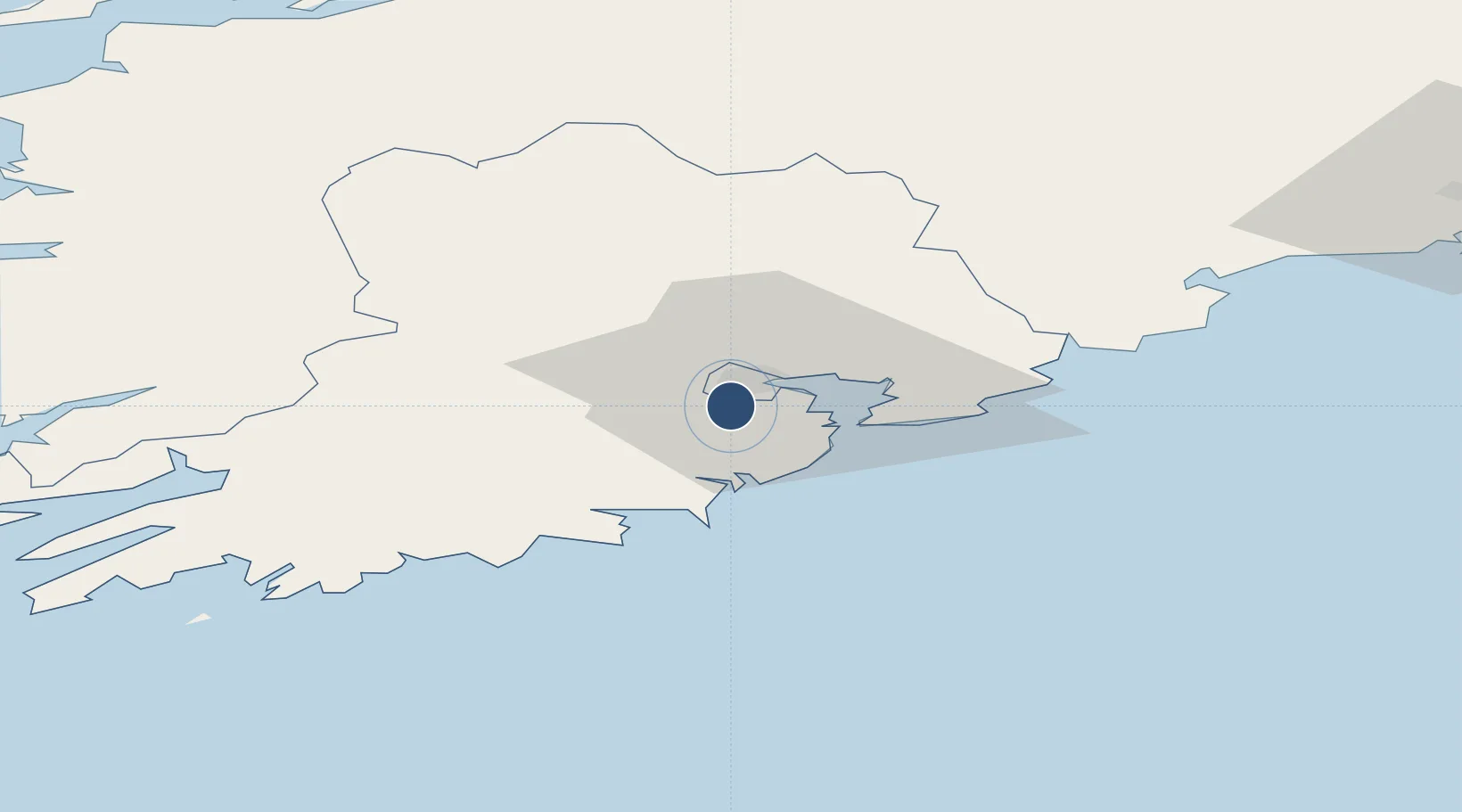
51.8413°, -8.4911°
6,998 ft
Longest runway
2
Runways
502 ft
Elevation

Runway & Layout

Cork International Airport runway & taxiway layout
Runway & taxiway layout — OpenStreetMap (ODbL) / OurAirports

Radio Frequencies

ATIS
120.925 MHz
TWR
119.3 MHz
GND
121.85 MHz
APP
119.9 MHz
OurAirports

Navaids

CRK VOR-DME Cork 114.60 MHz
OurAirports

Runways · 2

RunwayDimensions SurfaceTrue headingLit
16/34 6,998 × 148ft Asphalt 160°
07/25 4,298 × 148ft Asphalt / concrete 063°
OurAirports

Airport Specifications

IATA code
ORK
OurAirports
ICAO code
EICK
OurAirports
Airport class
Large airport
OurAirports
Scheduled service
Yes
OurAirports
Runway surface
Asphalt
OurAirports
Served city
Cork
OurAirports

Location

Location of EICK
Natural Earth 10m (public domain) · Cork · EICK · 51.84, -8.49GoogleOSMYandex

Nearby Logistics Neighbours

Airports
  1. 1Kerry Airport80 km
  2. 2Shannon Airport100 km
  3. 3Waterford Airport104 km
  4. 4Inisheer Aerodrome153 km
  5. 5Inishmaan Aerodrome157 km
Nearest neighbours — logibook spatial index (haversine) over the source coordinates
Cities
  1. 1Waterfall4 km
  2. 2Ford's Wharf (Topaz Energy Terminal)6 km
  3. 3Ballincollig8 km
  4. 4Cork9 km
  5. 5Passage West10 km
Nearest neighbours — logibook spatial index (haversine) over the source coordinates
Ports
  1. 1Cobh13 km
  2. 2Cork15 km
  3. 3Bantry68 km
  4. 4Limerick89 km
  5. 5Foynes96 km
Nearest neighbours — logibook spatial index (haversine) over the source coordinates
Trade Zones
  1. 1Shannon Free Zone100 km
  2. 2Dublin International Financial Services Centre226 km
  3. 3Cornwall Newquay Aerohub Enterprise Zone290 km
  4. 4Oceansgate Plymouth342 km
  5. 5Heart of the South West Enterprise Zone346 km
Nearest neighbours — logibook spatial index (haversine) over the source coordinates
DatabookThe Record of Consolidated Knowledge
Ireland beyond logistics?
Browse databook

All Sources

AirportsOurAirports
Public domain
Portsthe NGA World Port Index
Public domain (US gov)
LocationsUN/LOCODE
UN/LOCODE — free
Trade Zonesthe World Bank SEZ database
CC BY 4.0
Trade ZonesOpen Zone Map
CC BY
InfrastructureOpenStreetMap
ODbL 1.0
← Ireland airports