Channel & Berth Profile
Pilotage, Tugs & Services
Pilotage compulsoryYES
Pilotage availableYES
Pilotage advisableYES
Tug assistanceYES
Salvage tugsYES
Potable waterYES
Diesel bunkersYES
MedicalYES
Garbage disposalYES
Facilities & Capabilities
Container—
Ro-RoYES
Liquid bulkYES
Dry bulkYES
Oil terminal—
Break bulk—
Dry dockNO
RepairsNO
BunkeringYES
Rail linkYES
Dangerous cargo—
ISPS security—
Harbour Specifications
Harbour size
Medium
Harbour type
River (Natural)
Shelter
Excellent
Water body
Celtic Sea; North Atlantic Ocean
Tidal range
3.9 m
Pilotage
Yes
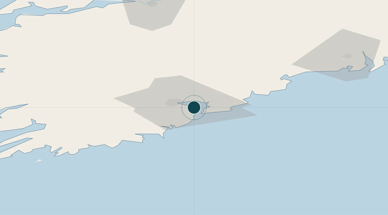
Location
Nearby Logistics Neighbours
Cities
- 1Rushbrooke1 km
- 2Ringaskiddy Deepwater Terminal2 km
- 3Ringaskiddy2 km
- 4Ringaskiddy Passenger Terminal2 km
- 5Passage West4 km
Airports
- 1Cork International Airport13 km
- 2Waterford Airport91 km
- 3Kerry Airport92 km
- 4Shannon Airport104 km
- 5Inisheer Aerodrome158 km
Trade Zones
DatabookThe Record of Consolidated Knowledge
Ireland beyond logistics?