UN/LOCODE hub · Ireland
IEBTH

Bantry Harbour

51.6833°, -9.4500°
1
Transport functions

Transport Functions

Port
Bantry Harbour is also a profiled seaport →
UN/LOCODE

Hub Profile

Region
CO
GeoNames

Location

Location of IEBTH
Natural Earth 10m (public domain) · CO · IEBTH · 51.68, -9.45GoogleOSMYandex

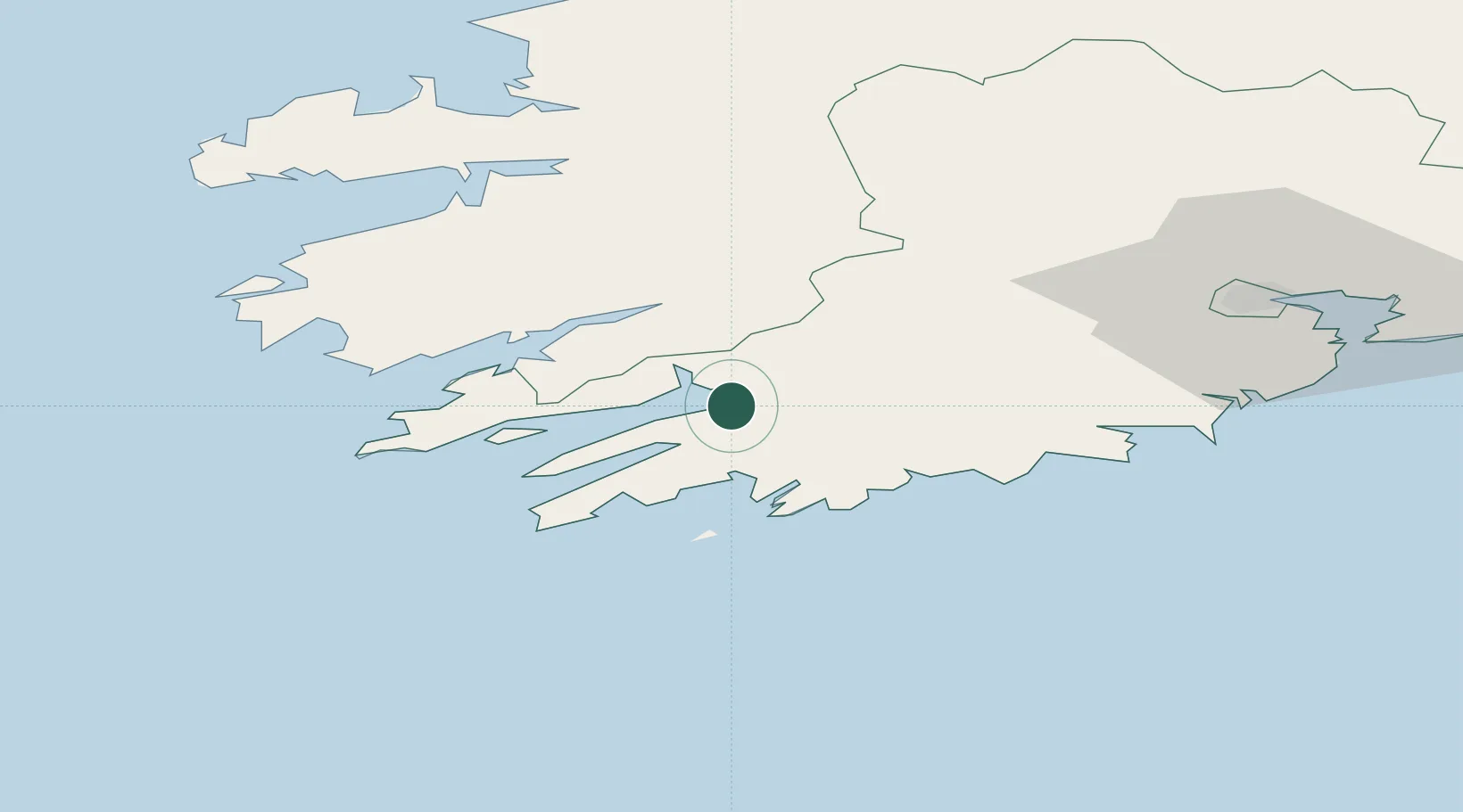
Nearby Logistics Neighbours

Cities
  1. 1Bantry0 km
  2. 2Glengarriff10 km
  3. 3Bishops Village17 km
  4. 4Skull19 km
  5. 5Unionhall26 km
Nearest neighbours — logibook spatial index (haversine) over the source coordinates
Ports
  1. 1Castletown Bearhaven32 km
  2. 2Fenit71 km
  3. 3Cobh81 km
  4. 4Cork84 km
  5. 5Tarbert100 km
Nearest neighbours — logibook spatial index (haversine) over the source coordinates
Airports
  1. 1Kerry Airport56 km
  2. 2Cork International Airport68 km
  3. 3Shannon Airport119 km
  4. 4Inisheer Aerodrome154 km
  5. 5Inishmaan Aerodrome157 km
Nearest neighbours — logibook spatial index (haversine) over the source coordinates
Trade Zones
  1. 1Shannon Free Zone120 km
  2. 2Dublin International Financial Services Centre285 km
  3. 3Cornwall Newquay Aerohub Enterprise Zone341 km
  4. 4Oceansgate Plymouth396 km
  5. 5Heart of the South West Enterprise Zone401 km
Nearest neighbours — logibook spatial index (haversine) over the source coordinates
DatabookThe Record of Consolidated Knowledge
Ireland beyond logistics?
Browse databook

All Sources

LocationsUN/LOCODE
UN/LOCODE — free
Portsthe NGA World Port Index
Public domain (US gov)
AirportsOurAirports
Public domain
Trade Zonesthe World Bank SEZ database
CC BY 4.0
Trade ZonesOpen Zone Map
CC BY
← Ireland locations