Transport Functions
Port
Road
Hub Profile
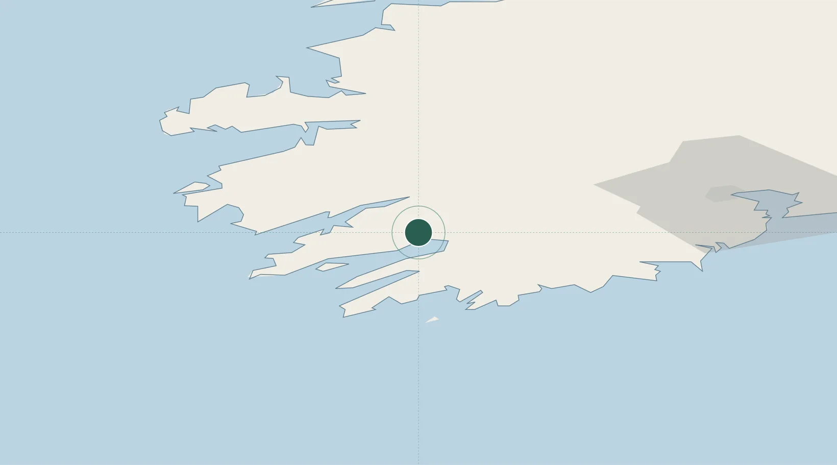
Place type
Populated place
Region
Munster
Population
138
Time zone
Europe/Dublin
Elevation
14 m
Location
Nearby Logistics Neighbours
Cities
- 1Bantry Harbour10 km
- 2Bantry10 km
- 3Skull26 km
- 4Bishops Village28 km
- 5Castletown Bearhaven28 km
Ports
- 1Bantry10 km
- 2Castletown Bearhaven28 km
- 3Fenit61 km
- 4Cobh87 km
- 5Cork89 km
Airports
- 1Kerry Airport48 km
- 2Cork International Airport74 km
- 3Shannon Airport114 km
- 4Inisheer Aerodrome146 km
- 5Inishmaan Aerodrome149 km
Trade Zones
DatabookThe Record of Consolidated Knowledge
Ireland beyond logistics?