Transport Functions
Port
Road
Airport
Hub Profile
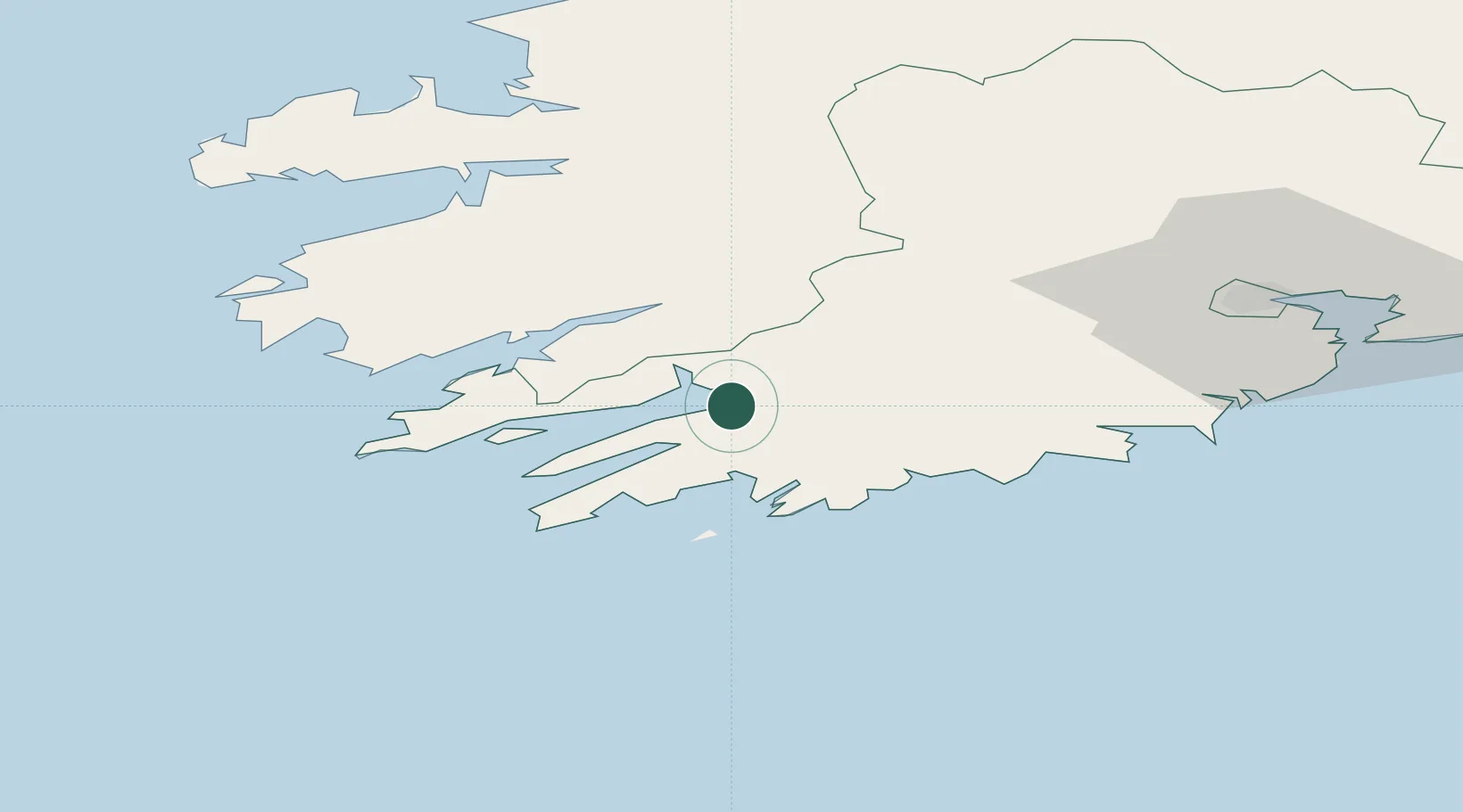
Place type
Populated place
Region
Munster
Population
2,722
Time zone
Europe/Dublin
Elevation
7 m
Location
Nearby Logistics Neighbours
Cities
- 1Bantry Harbour0 km
- 2Glengarriff10 km
- 3Bishops Village17 km
- 4Skull19 km
- 5Unionhall26 km
Ports
- 1Bantry0 km
- 2Castletown Bearhaven32 km
- 3Fenit71 km
- 4Cobh81 km
- 5Cork84 km
Airports
- 1Kerry Airport56 km
- 2Cork International Airport68 km
- 3Shannon Airport119 km
- 4Inisheer Aerodrome154 km
- 5Inishmaan Aerodrome157 km
Trade Zones
DatabookThe Record of Consolidated Knowledge
Ireland beyond logistics?