Transport Functions
Port
Road
Hub Profile
Region
CO
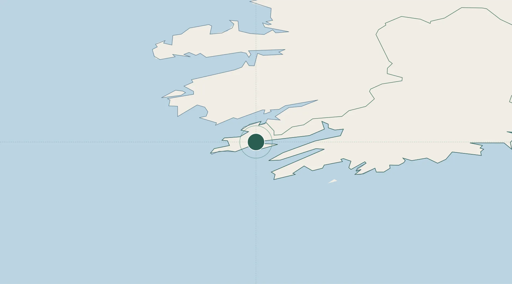
Location
Nearby Logistics Neighbours
Cities
- 1Glengarriff28 km
- 2Skull30 km
- 3Bantry Harbour32 km
- 4Bantry32 km
- 5Cahirciveen39 km
Airports
- 1Kerry Airport65 km
- 2Cork International Airport100 km
- 3Shannon Airport135 km
- 4Inisheer Aerodrome160 km
- 5Inishmaan Aerodrome162 km
Trade Zones
DatabookThe Record of Consolidated Knowledge
Ireland beyond logistics?