UN/LOCODE hub · Ireland
IESKL

Skull

51.5167°, -9.5333°
2
Transport functions

Transport Functions

Port
Road
UN/LOCODE

Hub Profile

Region
CO
GeoNames

Location

Location of IESKL
Natural Earth 10m (public domain) · CO · IESKL · 51.52, -9.53GoogleOSMYandex

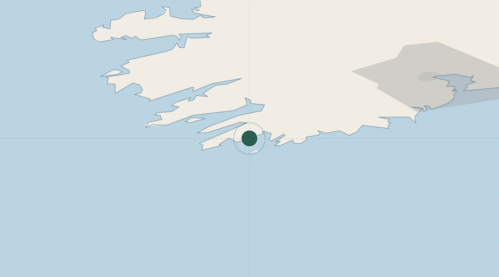
Nearby Logistics Neighbours

Cities
  1. 1Bishops Village18 km
  2. 2Bantry Harbour19 km
  3. 3Bantry19 km
  4. 4Glengarriff26 km
  5. 5Unionhall27 km
Nearest neighbours — logibook spatial index (haversine) over the source coordinates
Ports
  1. 1Bantry19 km
  2. 2Castletown Bearhaven30 km
  3. 3Fenit87 km
  4. 4Cobh93 km
  5. 5Cork95 km
Nearest neighbours — logibook spatial index (haversine) over the source coordinates
Airports
  1. 1Kerry Airport74 km
  2. 2Cork International Airport80 km
  3. 3Shannon Airport138 km
  4. 4Inisheer Aerodrome172 km
  5. 5Inishmaan Aerodrome175 km
Nearest neighbours — logibook spatial index (haversine) over the source coordinates
Trade Zones
  1. 1Shannon Free Zone139 km
  2. 2Dublin International Financial Services Centre302 km
  3. 3Cornwall Newquay Aerohub Enterprise Zone340 km
  4. 4Oceansgate Plymouth396 km
  5. 5Heart of the South West Enterprise Zone401 km
Nearest neighbours — logibook spatial index (haversine) over the source coordinates
DatabookThe Record of Consolidated Knowledge
Ireland beyond logistics?
Browse databook

All Sources

LocationsUN/LOCODE
UN/LOCODE — free
Portsthe NGA World Port Index
Public domain (US gov)
AirportsOurAirports
Public domain
Trade Zonesthe World Bank SEZ database
CC BY 4.0
Trade ZonesOpen Zone Map
CC BY
← Ireland locations