Transport Functions
Port
Road
Hub Profile
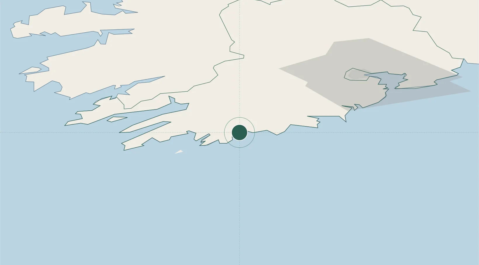
Place type
Populated place
Region
Munster
Population
270
Time zone
Europe/Dublin
Elevation
20 m
Location
Nearby Logistics Neighbours
Cities
- 1Bishops Village9 km
- 2Bantry Harbour26 km
- 3Bantry26 km
- 4Skull27 km
- 5Glengarriff35 km
Ports
- 1Bantry26 km
- 2Castletown Bearhaven54 km
- 3Cobh67 km
- 4Cork69 km
- 5Fenit94 km
Airports
- 1Cork International Airport56 km
- 2Kerry Airport75 km
- 3Shannon Airport129 km
- 4Waterford Airport158 km
- 5Inisheer Aerodrome170 km
Trade Zones
DatabookThe Record of Consolidated Knowledge
Ireland beyond logistics?