Seaport · Ireland
CorkIEORK
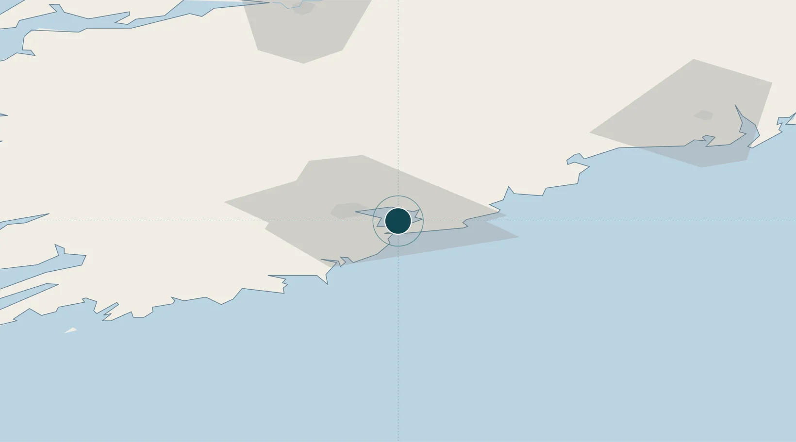
51.8500°, -8.2667°
11.0 m
Channel depth
3
Container terminals
67.3
Port liner connectivity
Channel & Berth Profile
Pilotage, Tugs & Services
Pilotage compulsoryYES
Pilotage availableYES
Tug assistanceYES
Potable waterYES
Diesel bunkersYES
MedicalYES
Garbage disposalYES
Facilities & Capabilities
ContainerYES
Ro-RoYES
Liquid bulkYES
Dry bulkYES
Oil terminalYES
Break bulkYES
Dry dockNO
RepairsNO
BunkeringYES
Rail linkYES
Dangerous cargo—
ISPS securityYES
Harbour Specifications
Harbour size
Medium
Harbour type
River (Natural)
Shelter
Excellent
Water body
Celtic Sea; North Atlantic Ocean
Tidal range
3.9 m
Overhead limit
Yes
Pilotage
Yes
Liner Connectivity
67.3
PLSCI
Port Liner Shipping Connectivity Index for Cork, as published by UNCTAD for the latest available quarter. Higher values indicate stronger scheduled liner-shipping integration.
Shown relative to the highest per-port PLSCI in the dataset (1,657.9).
Location
Container Terminals · 3
CORK CONTAINER TERMINAL
CCT PORT OF CORK
RINGASKIDDY DEEPWATER TERMINAL
RDT PORT OF CORK
TIVOLI TERMINAL
TIVO PORT OF CORK
Nearby Logistics Neighbours
Cities
- 1Rushbrooke3 km
- 2Ringaskiddy Deepwater Terminal4 km
- 3Ringaskiddy4 km
- 4Ringaskiddy Passenger Terminal4 km
- 5Passage West6 km
Airports
- 1Cork International Airport15 km
- 2Waterford Airport89 km
- 3Kerry Airport94 km
- 4Shannon Airport105 km
- 5Inisheer Aerodrome159 km
Trade Zones
DatabookThe Record of Consolidated Knowledge
Ireland beyond logistics?