Transport Functions
Multimodal
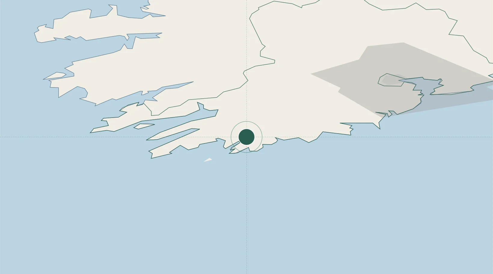
Hub Profile
Place type
Populated place
Region
Munster
Time zone
Europe/Dublin
Elevation
32 m
Location
Nearby Logistics Neighbours
Cities
- 1Unionhall9 km
- 2Bantry Harbour17 km
- 3Bantry17 km
- 4Skull18 km
- 5Glengarriff28 km
Ports
- 1Bantry17 km
- 2Castletown Bearhaven45 km
- 3Cobh75 km
- 4Cork77 km
- 5Fenit88 km
Airports
- 1Cork International Airport63 km
- 2Kerry Airport70 km
- 3Shannon Airport129 km
- 4Waterford Airport166 km
- 5Inisheer Aerodrome167 km
Trade Zones
DatabookThe Record of Consolidated Knowledge
Ireland beyond logistics?