Channel & Berth Profile
Pilotage, Tugs & Services
Pilotage compulsoryNO
Pilotage availableNO
Tug assistanceNO
Salvage tugsNO
Potable waterYES
Diesel bunkersYES
MedicalYES
Garbage disposalYES
Facilities & Capabilities
Container—
Ro-Ro—
Liquid bulk—
Dry bulk—
Oil terminal—
Break bulk—
Dry dock—
Repairs—
BunkeringYES
Rail link—
Dangerous cargo—
ISPS security—
Harbour Specifications
Harbour size
Very Small
Harbour type
Open Roadstead
Shelter
Excellent
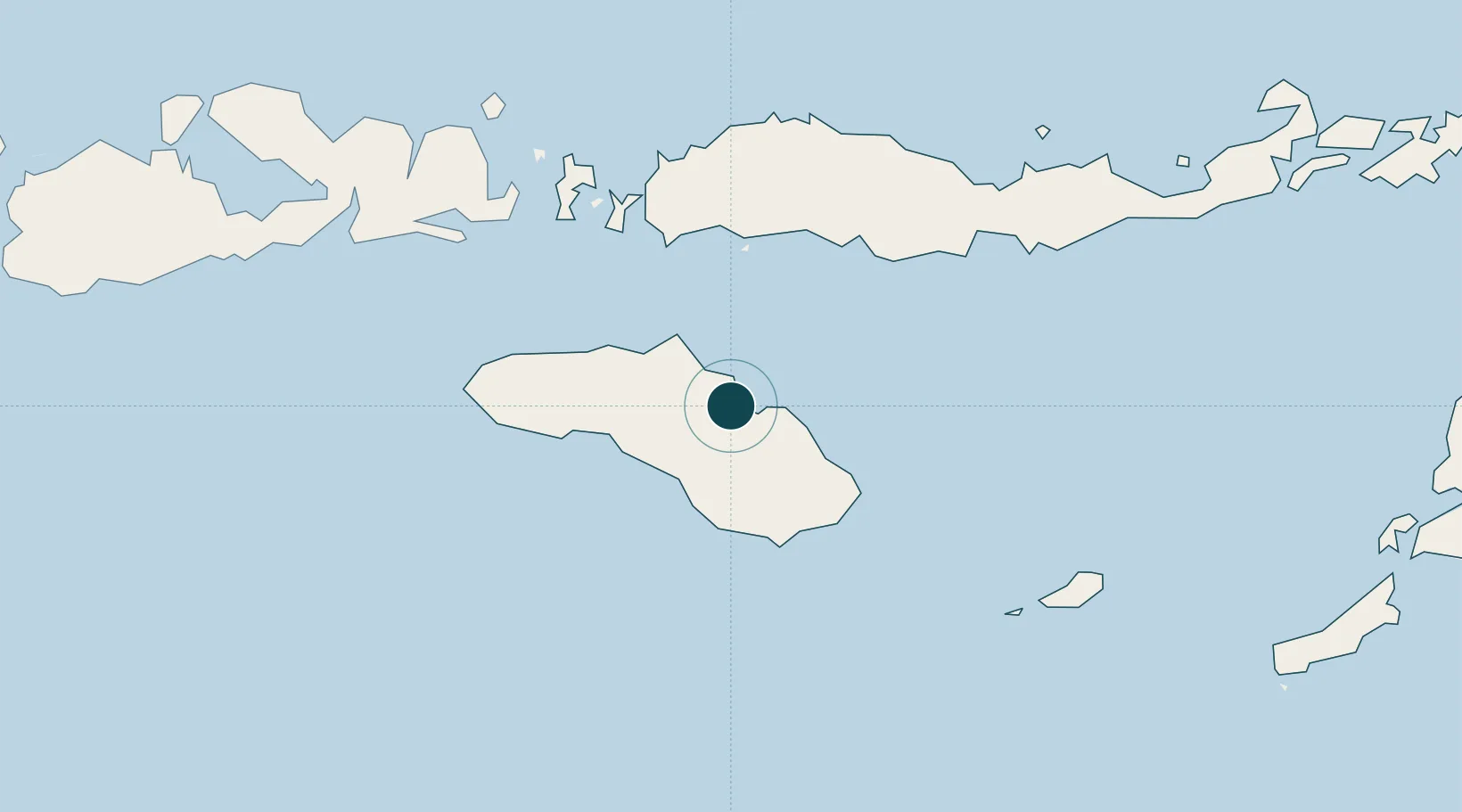
Water body
Savu Sea; Indian Ocean
Tidal range
2 m
Overhead limit
No
Pilotage
No
Location
Nearby Logistics Neighbours
Ports
- 1Ende181 km
- 2Maumere247 km
- 3Larantuka336 km
- 4Kupang374 km
- 5Tanjung Benete389 km
Cities
- 1Labuan Bajo131 km
- 2Komodo141 km
- 3Reo150 km
- 4Sape180 km
- 5Pelabuhan Badas340 km
Airports
- 1Umbu Mehang Kunda Airport10 km
- 2Tambolaka Airport110 km
- 3Frans Sales Lega Airport119 km
- 4Komodo Airport133 km
- 5H. Hasan Aroeboesman (Ende) Airport181 km
Trade Zones
DatabookThe Record of Consolidated Knowledge
Indonesia beyond logistics?