Seaport · Indonesia

LarantukaIDLKA

-8.3500°, 122.9833°

Channel & Berth Profile

SEA LEVEL (CD)CHANNEL BEDAnchorage · 21.6 m
NGA World Port Index

Pilotage, Tugs & Services

Potable waterYES
MedicalYES
NGA World Port Index

Facilities & Capabilities

Container
Ro-Ro
Liquid bulk
Dry bulk
Oil terminal
Break bulk
Dry dock
RepairsNO
Bunkering
Rail link
Dangerous cargo
ISPS security
NGA World Port Index

Harbour Specifications

Harbour size
Very Small
NGA World Port Index
Harbour type
Open Roadstead
NGA World Port Index
Shelter
Good
NGA World Port Index
Water body
Savu Sea; Indian Ocean
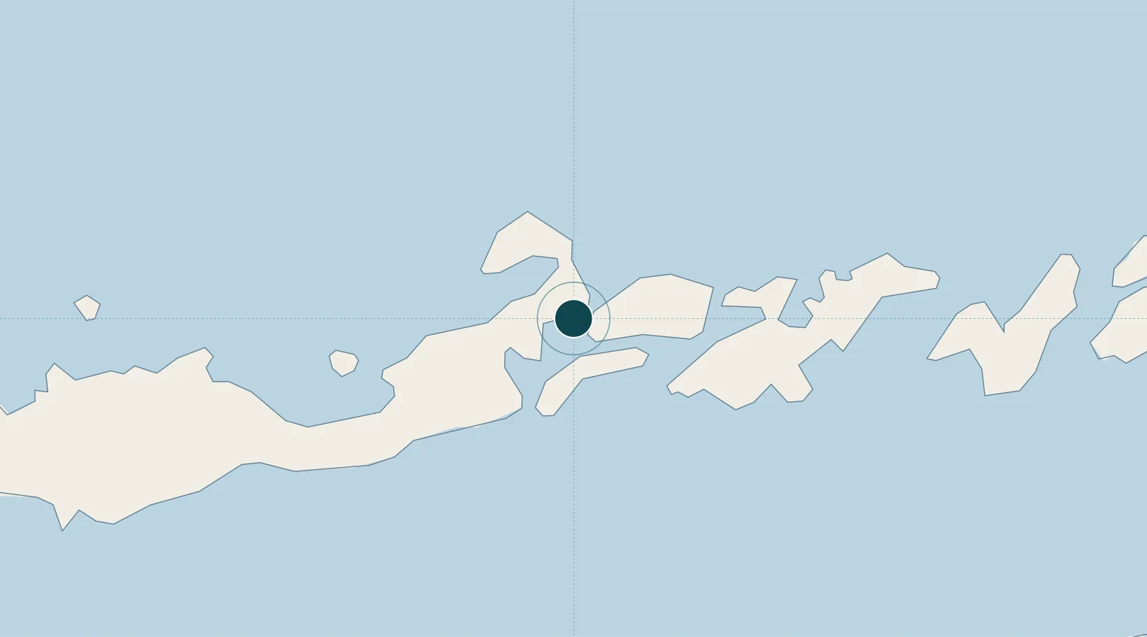
NGA World Port Index

Location

Location of IDLKA
Natural Earth 10m (public domain) · Nusa Tenggara Timur · IDLKA · -8.35, 122.98GoogleOSMYandex

Nearby Logistics Neighbours

Ports
  1. 1Maumere89 km
  2. 2Ende156 km
  3. 3Kupang213 km
  4. 4Dili287 km
  5. 5Baubau323 km
Nearest neighbours — logibook spatial index (haversine) over the source coordinates
Cities
  1. 1Kalabahi169 km
  2. 2Kupang, Timor214 km
  3. 3Reo273 km
  4. 4Dili285 km
  5. 5Waingapu, Sumba332 km
Nearest neighbours — logibook spatial index (haversine) over the source coordinates
Airports
  1. 1Larantuka Gewayentana Airport9 km
  2. 2Frans Xavier Seda Airport88 km
  3. 3H. Hasan Aroeboesman (Ende) Airport156 km
  4. 4Oecusse Route of the Sandalwood International Airport176 km
  5. 5Alor Island - Mali Airport179 km
Nearest neighbours — logibook spatial index (haversine) over the source coordinates
Trade Zones
  1. 1Oecusse Ambeno Enclave Special Zone For Social Market Economy (Zeesm)181 km
  2. 2Atauro Special Economic Zone289 km
  3. 3Bantaeng Industrial Park (BIP)461 km
  4. 4Terpadu Takalar Industrial Estate508 km
  5. 5Kawasan Industri Makassar528 km
Nearest neighbours — logibook spatial index (haversine) over the source coordinates
DatabookThe Record of Consolidated Knowledge
Indonesia beyond logistics?
Browse databook

All Sources

Portsthe NGA World Port Index
Public domain (US gov)
AirportsOurAirports
Public domain
LocationsUN/LOCODE
UN/LOCODE — free
Trade Zonesthe World Bank SEZ database
CC BY 4.0
Trade ZonesOpen Zone Map
CC BY
← Indonesia ports