UN/LOCODE hub · Indonesia
IDKMD

Komodo

-8.5833°, 119.5000°
2,000
Population
1
Transport functions

Transport Functions

Port
UN/LOCODE

Hub Profile

Place type
Local administrative seat
GeoNames
Region
East Nusa Tenggara
GeoNames
Population
2,000
GeoNames
Time zone
Asia/Makassar
GeoNames
Elevation
8 m
GeoNames

Location

Location of IDKMD
Natural Earth 10m (public domain) · East Nusa Tenggara · IDKMD · -8.58, 119.50GoogleOSMYandex

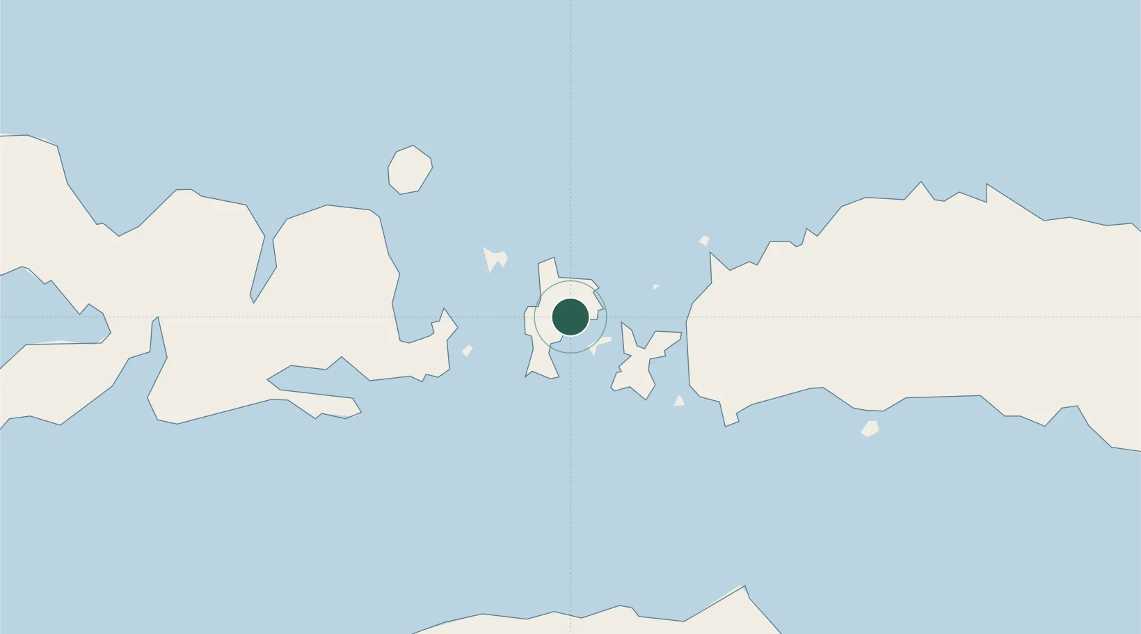
Nearby Logistics Neighbours

Cities
  1. 1Labuan Bajo43 km
  2. 2Sape57 km
  3. 3Reo114 km
  4. 4Waingapu, Sumba145 km
  5. 5Pelabuhan Badas235 km
Nearest neighbours — logibook spatial index (haversine) over the source coordinates
Ports
  1. 1Waingapu141 km
  2. 2Ende238 km
  3. 3Maumere299 km
  4. 4Tanjung Benete304 km
  5. 5Ampenan378 km
Nearest neighbours — logibook spatial index (haversine) over the source coordinates
Airports
  1. 1Komodo Airport44 km
  2. 2Sultan Muhammad Salahuddin Airport90 km
  3. 3Tambolaka Airport96 km
  4. 4Frans Sales Lega Airport108 km
  5. 5Umbu Mehang Kunda Airport149 km
Nearest neighbours — logibook spatial index (haversine) over the source coordinates
Trade Zones
  1. 1Terpadu Takalar Industrial Estate347 km
  2. 2Bantaeng Industrial Park (BIP)349 km
  3. 3KEK Mandalika354 km
  4. 4Kawasan Industri Makassar387 km
  5. 5Oecusse Ambeno Enclave Special Zone For Social Market Economy (Zeesm)534 km
Nearest neighbours — logibook spatial index (haversine) over the source coordinates
DatabookThe Record of Consolidated Knowledge
Indonesia beyond logistics?
Browse databook

All Sources

LocationsUN/LOCODE
UN/LOCODE — free
LocationsGeoNames
CC BY 4.0
Portsthe NGA World Port Index
Public domain (US gov)
AirportsOurAirports
Public domain
Trade Zonesthe World Bank SEZ database
CC BY 4.0
Trade ZonesOpen Zone Map
CC BY
← Indonesia locations