Transport Functions
Port
Hub Profile
Place type
Local administrative seat
Region
East Nusa Tenggara
Time zone
Asia/Makassar
Elevation
12 m
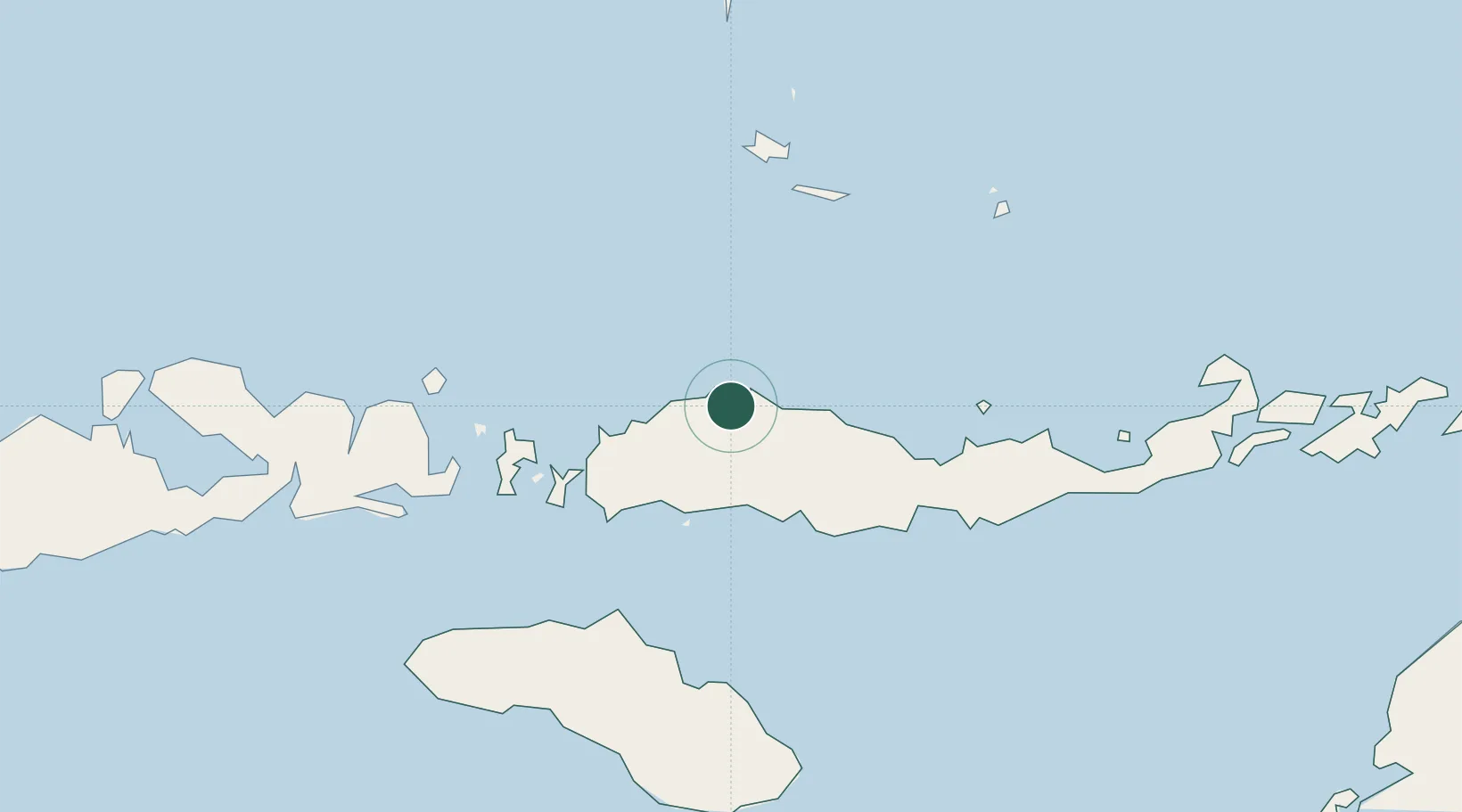
Location
Nearby Logistics Neighbours
Cities
- 1Labuan Bajo71 km
- 2Komodo114 km
- 3Waingapu, Sumba151 km
- 4Sape169 km
- 5Pelabuhan Badas345 km
Ports
- 1Ende139 km
- 2Waingapu150 km
- 3Maumere192 km
- 4Larantuka273 km
- 5Ujung Pandang374 km
Airports
- 1Frans Sales Lega Airport31 km
- 2Komodo Airport70 km
- 3H. Hasan Aroeboesman (Ende) Airport141 km
- 4Umbu Mehang Kunda Airport152 km
- 5Tambolaka Airport184 km
Trade Zones
DatabookThe Record of Consolidated Knowledge
Indonesia beyond logistics?