Seaport · Indonesia
KupangIDKOE
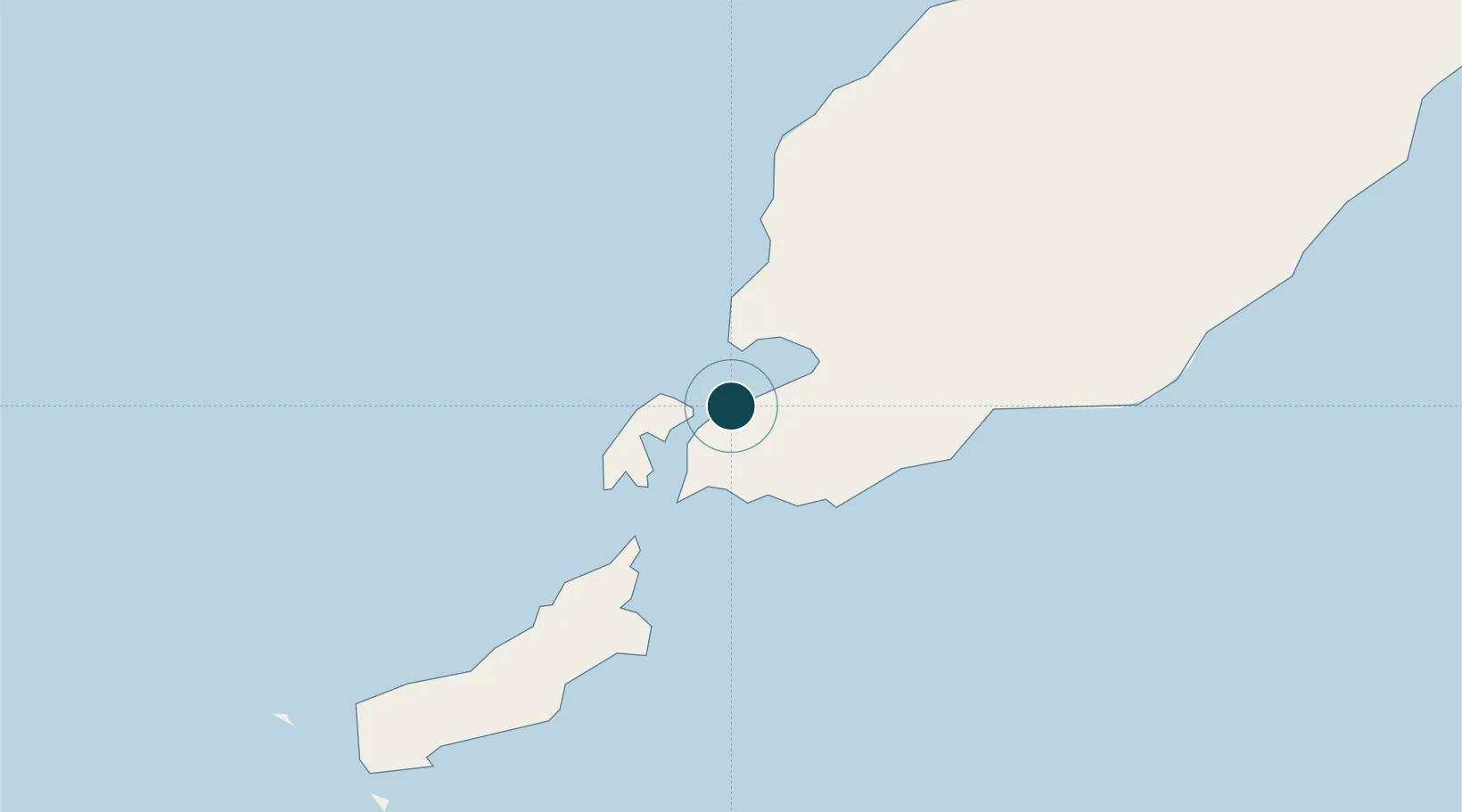
-10.1667°, 123.5833°
4.9 m
Channel depth
1
Container terminals
15.5
Port liner connectivity
Channel & Berth Profile
Pilotage, Tugs & Services
Pilotage compulsoryYES
Pilotage availableYES
Tug assistanceYES
Potable waterYES
Diesel bunkersYES
MedicalYES
Facilities & Capabilities
Container—
Ro-Ro—
Liquid bulk—
Dry bulk—
Oil terminal—
Break bulk—
Dry dock—
Repairs—
BunkeringYES
Rail link—
Dangerous cargo—
ISPS security—
Harbour Specifications
Harbour size
Small
Harbour type
Coastal (Natural)
Shelter
Fair
Water body
Savu Sea; Indian Ocean
Tidal range
2 m
Pilotage
Yes
Liner Connectivity
15.5
PLSCI
Port Liner Shipping Connectivity Index for Kupang, as published by UNCTAD for the latest available quarter. Higher values indicate stronger scheduled liner-shipping integration.
Shown relative to the highest per-port PLSCI in the dataset (1,657.9).
Location
Container Terminals · 1
TERMINAL PETIKEMAS KUPANG
TPKU PT PELINDO TERMINAL PETIKEMAS (SPTP)
Nearby Logistics Neighbours
Cities
- 1Kalabahi240 km
- 2Challis Venture (oil Terminal)267 km
- 3Dili282 km
- 4Montara Field329 km
- 5Waingapu, Sumba368 km
Airports
DatabookThe Record of Consolidated Knowledge
Indonesia beyond logistics?