Small airport · Indonesia

Tambolaka AirportWADT
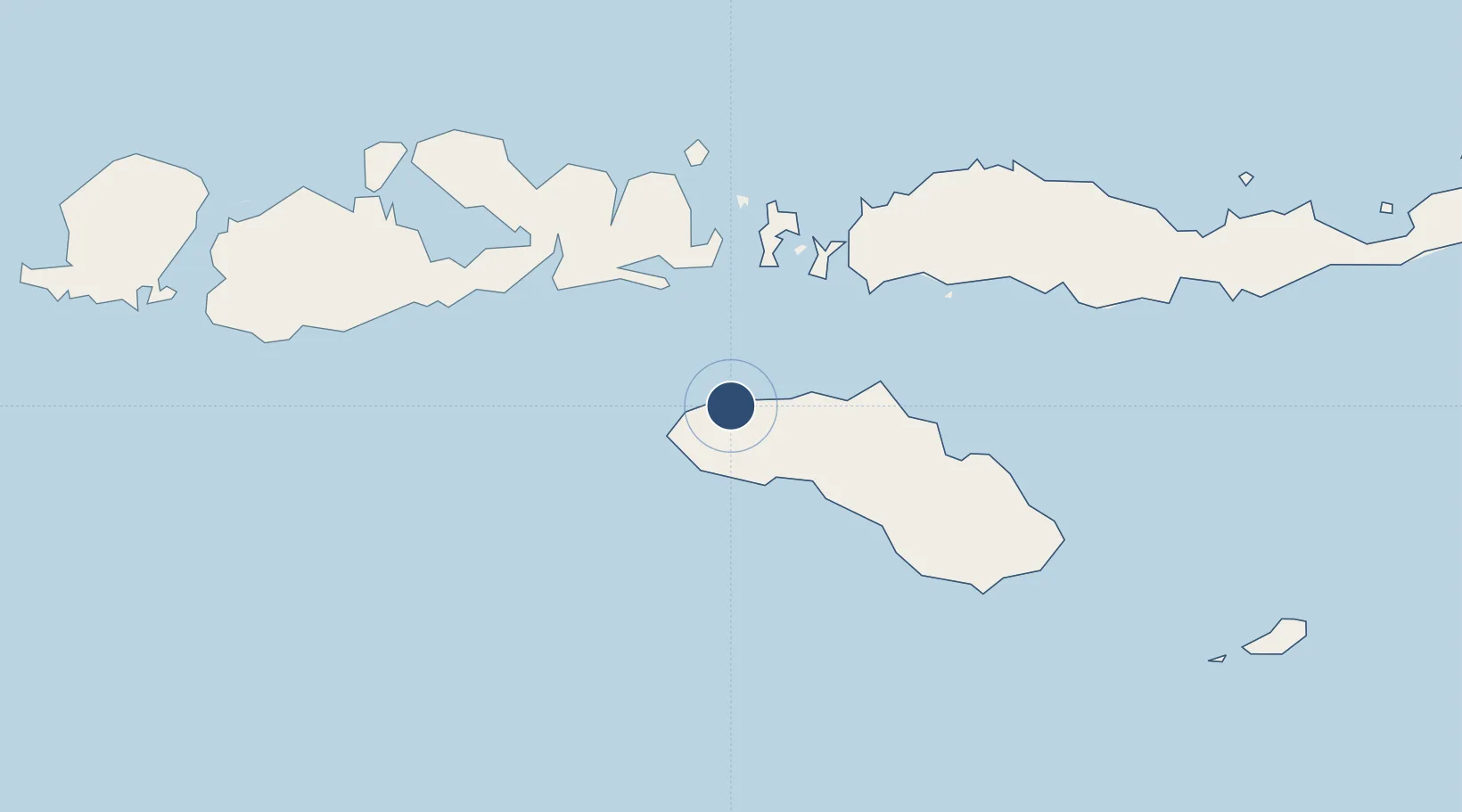
-9.4092°, 119.2426°
5,905 ft
Longest runway
1
Runways
161 ft
Elevation

Runway & Layout

Tambolaka Airport runway & taxiway layout
Runway & taxiway layout — OpenStreetMap (ODbL) / OurAirports

Radio Frequencies

RDO
122.5 MHz
OurAirports

Runways · 1

RunwayDimensions SurfaceTrue headingLit
10/28 5,905 × 98ft Asphalt 099°
OurAirports

Airport Specifications

IATA code
TMC
OurAirports
ICAO code
WATK
OurAirports
Airport class
Small airport
OurAirports
Scheduled service
Yes
OurAirports
Runway surface
Asphalt
OurAirports
Served city
Radamata
OurAirports

Location

Location of WADT
Natural Earth 10m (public domain) · Nusa Tenggara Timur · WADT · -9.41, 119.24GoogleOSMYandex

Nearby Logistics Neighbours

Airports
  1. 1Sultan Muhammad Salahuddin Airport115 km
  2. 2Umbu Mehang Kunda Airport120 km
  3. 3Komodo Airport125 km
  4. 4Frans Sales Lega Airport163 km
  5. 5Sultan Muhammad Kaharuddin III Airport226 km
Nearest neighbours — logibook spatial index (haversine) over the source coordinates
Cities
  1. 1Komodo96 km
  2. 2Sape98 km
  3. 3Waingapu, Sumba116 km
  4. 4Labuan Bajo123 km
  5. 5Reo184 km
Nearest neighbours — logibook spatial index (haversine) over the source coordinates
Ports
  1. 1Waingapu110 km
  2. 2Ende272 km
  3. 3Tanjung Benete279 km
  4. 4Maumere338 km
  5. 5Ampenan361 km
Nearest neighbours — logibook spatial index (haversine) over the source coordinates
Trade Zones
  1. 1KEK Mandalika329 km
  2. 2Terpadu Takalar Industrial Estate439 km
  3. 3Bantaeng Industrial Park (BIP)444 km
  4. 4Kawasan Industri Makassar480 km
  5. 5Oecusse Ambeno Enclave Special Zone For Social Market Economy (Zeesm)555 km
Nearest neighbours — logibook spatial index (haversine) over the source coordinates
DatabookThe Record of Consolidated Knowledge
Indonesia beyond logistics?
Browse databook

All Sources

AirportsOurAirports
Public domain
Portsthe NGA World Port Index
Public domain (US gov)
LocationsUN/LOCODE
UN/LOCODE — free
Trade Zonesthe World Bank SEZ database
CC BY 4.0
Trade ZonesOpen Zone Map
CC BY
InfrastructureOpenStreetMap
ODbL 1.0
← Indonesia airports