Small airport · Indonesia
Komodo AirportWATO
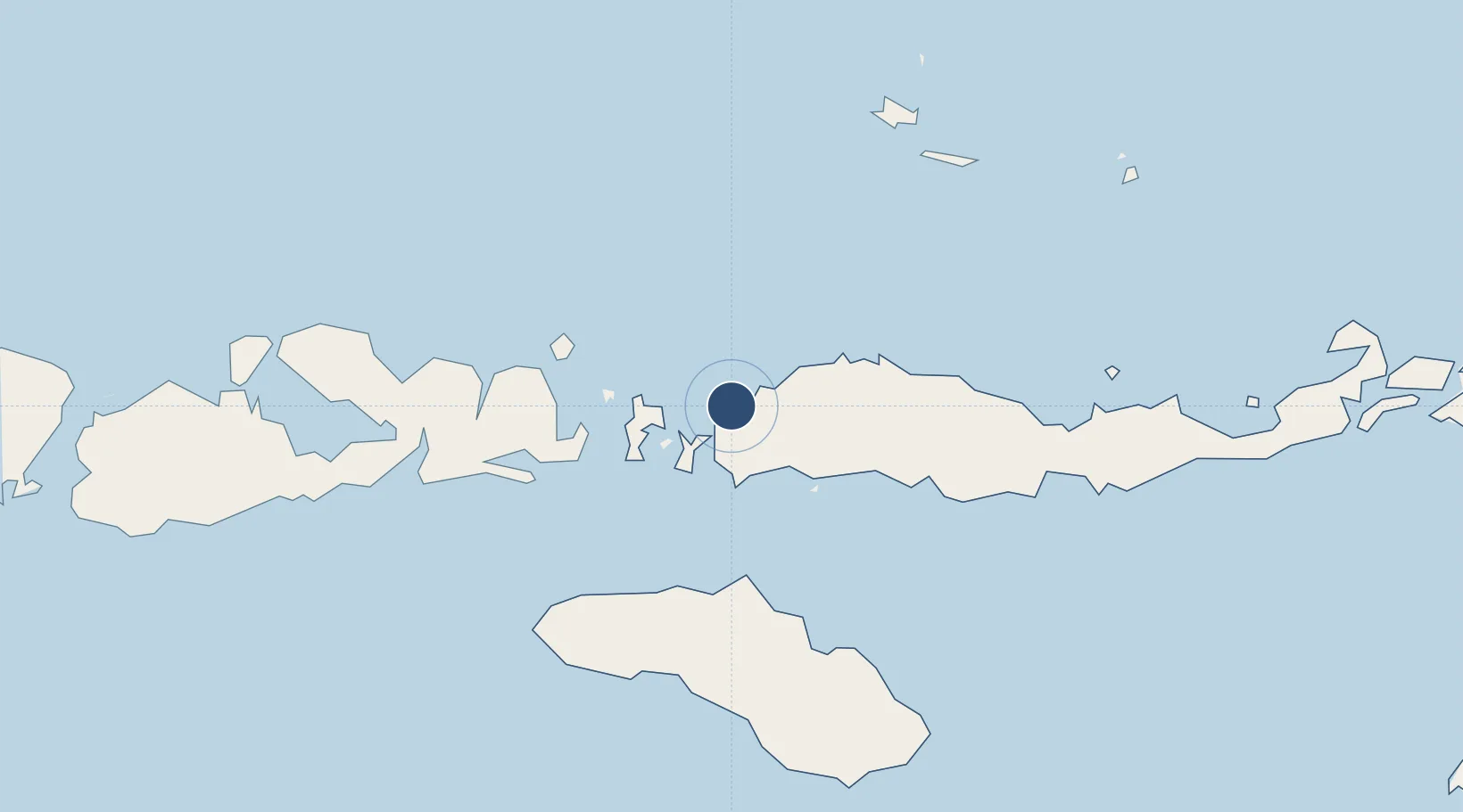
-8.4807°, 119.8883°
7,381 ft
Longest runway
1
Runways
66 ft
Elevation
Runway & Layout

Radio Frequencies
A/G
449.5 MHz
LABUHAN BAJO RDO
INFO
122.7 MHz
LABUHAN BAJO INFO
Navaids
LB NDB Labuhan Bajo 238 kHz
Runways · 1
| Runway | Dimensions | Surface | True heading | Lit |
|---|---|---|---|---|
| 17/35 | 7,381 × 145ft | Asphalt | 172° | — |
Airport Specifications
IATA code
LBJ
ICAO code
WATO
Airport class
Small airport
Scheduled service
Yes
Runway surface
Asphalt
Served city
Labuan Bajo, Manggarai Barat
Location
Nearby Logistics Neighbours
Airports
- 1Frans Sales Lega Airport66 km
- 2Tambolaka Airport125 km
- 3Sultan Muhammad Salahuddin Airport133 km
- 4Umbu Mehang Kunda Airport140 km
- 5H. Hasan Aroeboesman (Ende) Airport199 km
Cities
- 1Labuan Bajo2 km
- 2Komodo44 km
- 3Reo70 km
- 4Sape100 km
- 5Waingapu, Sumba137 km
Ports
- 1Waingapu133 km
- 2Ende198 km
- 3Maumere257 km
- 4Larantuka341 km
- 5Tanjung Benete348 km
Trade Zones
DatabookThe Record of Consolidated Knowledge
Indonesia beyond logistics?