UN/LOCODE hub · Indonesia
IDWGP

Waingapu, Sumba

-9.6500°, 120.2667°
2
Transport functions

Transport Functions

Port
Airport
Waingapu, Sumba is also a profiled seaport →
UN/LOCODE

Hub Profile

Region
NT
GeoNames

Location

Location of IDWGP
Natural Earth 10m (public domain) · NT · IDWGP · -9.65, 120.27GoogleOSMYandex

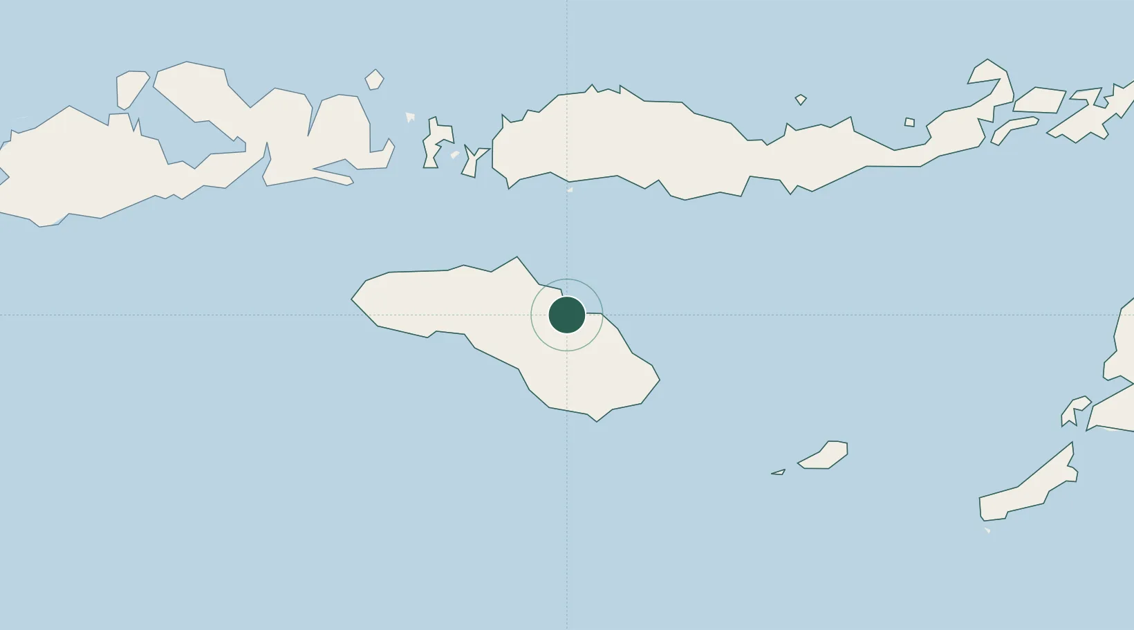
Nearby Logistics Neighbours

Cities
  1. 1Labuan Bajo135 km
  2. 2Komodo145 km
  3. 3Reo151 km
  4. 4Sape185 km
  5. 5Pelabuhan Badas345 km
Nearest neighbours — logibook spatial index (haversine) over the source coordinates
Ports
  1. 1Ende177 km
  2. 2Maumere243 km
  3. 3Larantuka332 km
  4. 4Kupang368 km
  5. 5Tanjung Benete395 km
Nearest neighbours — logibook spatial index (haversine) over the source coordinates
Airports
  1. 1Umbu Mehang Kunda Airport4 km
  2. 2Tambolaka Airport116 km
  3. 3Frans Sales Lega Airport120 km
  4. 4Komodo Airport137 km
  5. 5H. Hasan Aroeboesman (Ende) Airport177 km
Nearest neighbours — logibook spatial index (haversine) over the source coordinates
Trade Zones
  1. 1Oecusse Ambeno Enclave Special Zone For Social Market Economy (Zeesm)444 km
  2. 2KEK Mandalika444 km
  3. 3Bantaeng Industrial Park (BIP)465 km
  4. 4Terpadu Takalar Industrial Estate474 km
  5. 5Kawasan Industri Makassar513 km
Nearest neighbours — logibook spatial index (haversine) over the source coordinates
DatabookThe Record of Consolidated Knowledge
Indonesia beyond logistics?
Browse databook

All Sources

LocationsUN/LOCODE
UN/LOCODE — free
Portsthe NGA World Port Index
Public domain (US gov)
AirportsOurAirports
Public domain
Trade Zonesthe World Bank SEZ database
CC BY 4.0
Trade ZonesOpen Zone Map
CC BY
← Indonesia locations