Natural Earth · boundaries do not imply endorsement
Databook
The Record of Consolidated Knowledge Indonesia beyond logistics?
PopulationEconomyGovernanceParliamentHealthEducationLabourInfrastructureEnvironment & EnergyDefenseGeographyIdentityComplianceSpaceTimeline
Browse databook → 
Logistics profile
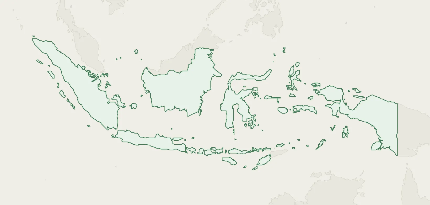
Indonesia
APACASEAND8G20IMFUNWCOWTO
Indonesia (IDN) maps 104 seaports from the NGA World Port Index, 167 airports, and 219 UN/LOCODE transport hubs — each figure traced to a named public registry (NGA, OurAirports, UNECE).
Explore the country's ports, airports, hubs and trade zones below, each cross-linked to its sourced entity record, or open the same nation on databook for its wider reference profile.
104
Ports
167
Airports
219
Locations
81
Trade Zones
17
Airlines
Logistics Performance
World Bank LPI · 6 components (0–5)
- Global LPI rank#61/139
- Overall LPI score3.00/5.00
- UNCTAD liner connectivity (LSCI)230.7 · 2024-Q1
- Port connectivity (PLSCI)541.6 · Jakarta
- Infrastructure quality2.9
- Customs efficiency2.8
Transport Network & Freight
Rail network
5,483route-km
Container throughput
12,380,584TEU
Air freight
870.5M ton-km
Maritime territory (EEZ)
6,019,205km²
Logistics sites
2,228
Trade & Compliance
International Cargo Treaties
Total: 7
✓
Convention on the International Maritime Organization Party · 1961
✓
Agreement relating to the implementation of Part XI of… Party · 1994
✓
Agreement under the United Nations Convention on the Law… Party · 2025
✓
Agreement for the Implementation of the Provisions of the… Party · 2009
Trade Flow
Top export market China 22.2%
Top import source China 31.8%
Lead export good Mineral fuels & oils 20.5%
Lead import good Mineral fuels & oils 17.3%
Preferential Trade
Total: 8
- FTA & EIA RCEP (Regional Comprehensive Economic Partnership) Agreement
- FTA & EIA EFTA - Indonesia
- FTA & EIA Indonesia - Australia
- FTA Chile - Indonesia
Logistics Infrastructure
Ports
104 seaports in Indonesia — channel and anchorage depths, berths and cargo facilities from the NGA World Port Index.
Tanjung Santan IDSAT 23.2 m Wahai IDWBA 23.2 m Celukan Bawang IDCEB 21.6 m Sabang IDSBG 21.6 m Ardjuna Oil Field IDAJN 21.6 m
Browse Ports → Airports
167 airports in Indonesia, identified by IATA and ICAO codes and located by city.
Hang Nadim International Airport BTH 13218 ft Kualanamu International Airport KNO 12303 ft Soekarno-Hatta International Airport CGK 12008 ft Frans Kaisiepo Airport BIK 11715 ft Dhoho International Airport DHX 10827 ft
Source OurAirports
Browse Airports → Locations
219 UN/LOCODE transport hubs in Indonesia — port, rail, road, air and border-crossing function points.
Jakarta, Java IDJKT Port, Rail, Road, Airport, Postal Surabaya IDSUB Port, Rail, Road, Airport, Postal, Multimodal Belawan, Sumatra IDBLW Port Semarang IDSRG Port, Road, Airport, Postal Batam Island IDBTM Port, Road
Browse Locations → Trade Zones
81 special economic and free-trade zones in Indonesia, with type and operator.
Batam-Bintan-Karimun Free Trade Zone ozm-2442 Free Trade Zone Karimun Free Trade Zone ozm-2441 Free Trade Zone Terpadu Takalar Industrial Estate ozm-2420 Diversified Zone ModernCikande Industrial Estate IDN5 Industrial Estate Bantaeng Industrial Park (BIP) ozm-2456 Specialized Zone
Browse Trade Zones → All Sources
Referencelogibook trade-bloc referencelogibook trade-bloc reference
Compiled (public facts)
commoditythe U.S. Energy Information Administrationthe U.S. Energy Information Administration
Public domain (US gov)↗
Referenceinternational organisation membership recordsinternational organisation membership records
Public (official lists)↗
Sanctions & compliancethe UN Security Council Consolidated Listthe UN Security Council Consolidated List
UN — open↗
Sanctions & compliancethe EU Consolidated Sanctions Listthe EU Consolidated Sanctions List
© EU — free reuse↗
Tradethe World Bank's Deep Trade Agreements databasethe World Bank's Deep Trade Agreements database
CC BY 4.0↗
Logistics performancethe World Bank Logistics Performance Indexthe World Bank Logistics Performance Index
CC BY 4.0↗
Infrastructurethe World Bank's World Development Indicatorsthe World Bank's World Development Indicators
CC BY 4.0↗