UN/LOCODE hub · Indonesia
IDPBB

Pelabuhan Badas

-8.4500°, 117.3667°
1
Transport functions

Transport Functions

Port
UN/LOCODE

Hub Profile

Region
NB
GeoNames

Location

Location of IDPBB
Natural Earth 10m (public domain) · NB · IDPBB · -8.45, 117.37GoogleOSMYandex

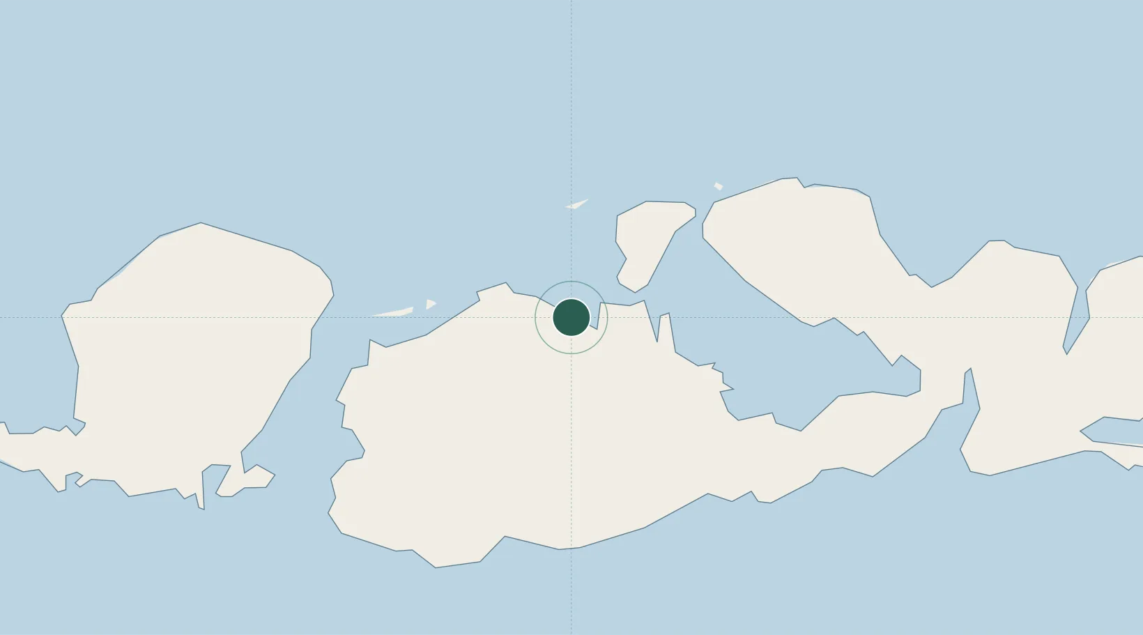
Nearby Logistics Neighbours

Cities
  1. 1Poto Tano59 km
  2. 2Cereweh73 km
  3. 3Kahyangan77 km
  4. 4Lombok77 km
  5. 5Sunut101 km
Nearest neighbours — logibook spatial index (haversine) over the source coordinates
Ports
  1. 1Tanjung Benete84 km
  2. 2Ampenan144 km
  3. 3Benoa239 km
  4. 4Celukan Bawang280 km
  5. 5Waingapu340 km
Nearest neighbours — logibook spatial index (haversine) over the source coordinates
Airports
  1. 1Sultan Muhammad Kaharuddin III Airport7 km
  2. 2Lombok International Airport125 km
  3. 3Sultan Muhammad Salahuddin Airport145 km
  4. 4Tambolaka Airport232 km
  5. 5Discovery Kartika Plaza Heliport244 km
Nearest neighbours — logibook spatial index (haversine) over the source coordinates
Trade Zones
  1. 1KEK Mandalika128 km
  2. 2Terpadu Takalar Industrial Estate401 km
  3. 3Bantaeng Industrial Park (BIP)438 km
  4. 4Kawasan Industri Makassar440 km
  5. 5Pasuruan Industrial Estate Rembang509 km
Nearest neighbours — logibook spatial index (haversine) over the source coordinates
DatabookThe Record of Consolidated Knowledge
Indonesia beyond logistics?
Browse databook

All Sources

LocationsUN/LOCODE
UN/LOCODE — free
Portsthe NGA World Port Index
Public domain (US gov)
AirportsOurAirports
Public domain
Trade Zonesthe World Bank SEZ database
CC BY 4.0
Trade ZonesOpen Zone Map
CC BY
← Indonesia locations