Diversified Zone · Indonesia

Kawasan Industri Makassar Active
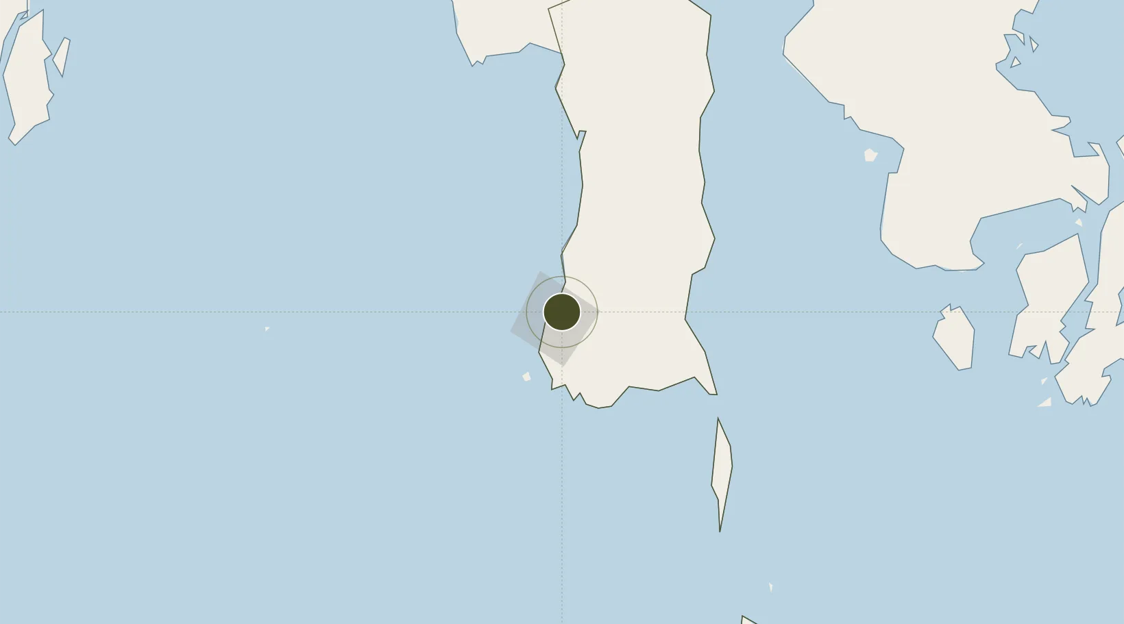
-5.1046°, 119.4979°
330 ha
Zone area
11.3 km
Nearest port
7.0 km
Nearest airport

Gateway access

Nearest neighbours — logibook spatial index (haversine) over the source coordinates

Zone profile

Zone type
Diversified Zone
Open Zone Map
Region
Sulawesi Selatan
Open Zone Map
Status
Active
Open Zone Map
Management
Public
Open Zone Map
Operator
PT. Kawasan Industri Makassar
Open Zone Map
Legal framework
Law Of The Republic Of Indonesia Number 3 Of 2014 On Industrial Affairs
Open Zone Map

Location

Location of ozm-2370
Natural Earth 10m (public domain) · Sulawesi Selatan · ozm-2370 · -5.10, 119.50GoogleOSMYandex

Nearby Logistics Neighbours

Ports
  1. 1Ujung Pandang11 km
  2. 2Parepare124 km
  3. 3Pomalaa255 km
  4. 4Baubau348 km
  5. 5Raha Roadstead360 km
Nearest neighbours — logibook spatial index (haversine) over the source coordinates
Airports
  1. 1Sultan Hasanuddin International Airport7 km
  2. 2Selayar - Haji Aroeppala Airport158 km
  3. 3Toraja Airport218 km
  4. 4Bua - Palopo Lagaligo Airport240 km
  5. 5Sangia Nibandera Airport240 km
Nearest neighbours — logibook spatial index (haversine) over the source coordinates
Cities
  1. 1Makassar5 km
  2. 2Panakukang15 km
  3. 3Shahriar15 km
  4. 4Biringkassi32 km
  5. 5Palapo, Sulawesi239 km
Nearest neighbours — logibook spatial index (haversine) over the source coordinates
Trade Zones
  1. 1Terpadu Takalar Industrial Estate42 km
  2. 2Bantaeng Industrial Park (BIP)66 km
  3. 3Morowali Industrial Park389 km
  4. 4Palu Special Economic Zone490 km
  5. 5Kariangau Industrial Estate518 km
Nearest neighbours — logibook spatial index (haversine) over the source coordinates
DatabookThe Record of Consolidated Knowledge
Indonesia beyond logistics?
Browse databook

All Sources

Trade ZonesOpen Zone Map
CC BY
Portsthe NGA World Port Index
Public domain (US gov)
AirportsOurAirports
Public domain
LocationsUN/LOCODE
UN/LOCODE — free
← Indonesia trade zones