Diversified Zone · Indonesia

Terpadu Takalar Industrial Estate Under Development
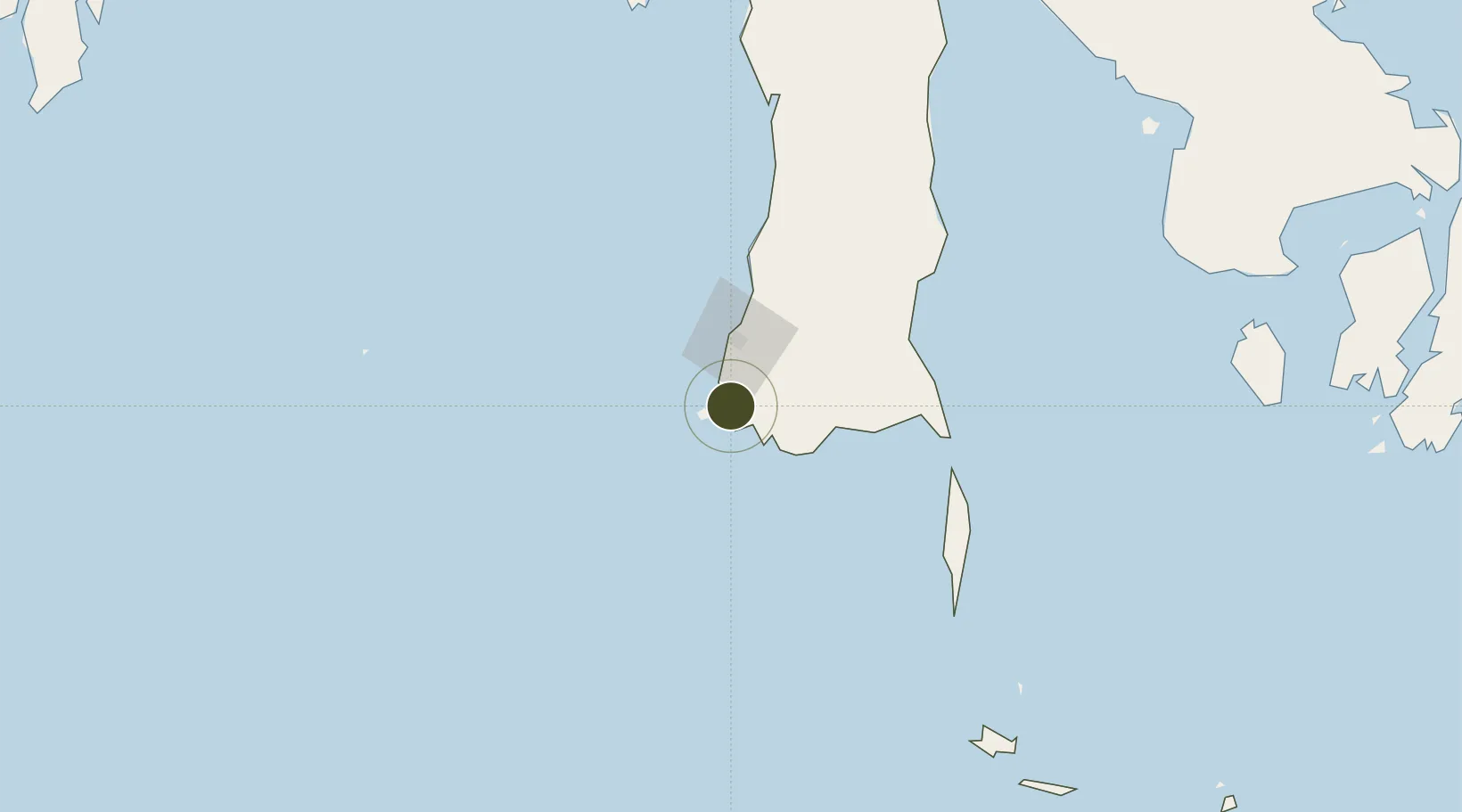
-5.4688°, 119.4128°
5,000 ha
Zone area
37.3 km
Nearest port
46.4 km
Nearest airport

Gateway access

Nearest neighbours — logibook spatial index (haversine) over the source coordinates

Zone profile

Zone type
Diversified Zone
Open Zone Map
Region
Sulawesi Selatan
Open Zone Map
Status
Under Development
Open Zone Map
Management
Public
Open Zone Map
Operator
Takalar Land
Open Zone Map
Legal framework
The Law No 3. Article 106, issued in 2014
Open Zone Map

Location

Location of ozm-2420
Natural Earth 10m (public domain) · Sulawesi Selatan · ozm-2420 · -5.47, 119.41GoogleOSMYandex

Nearby Logistics Neighbours

Ports
  1. 1Ujung Pandang37 km
  2. 2Parepare165 km
  3. 3Pomalaa282 km
  4. 4Baubau355 km
  5. 5Raha Roadstead374 km
Nearest neighbours — logibook spatial index (haversine) over the source coordinates
Airports
  1. 1Sultan Hasanuddin International Airport46 km
  2. 2Selayar - Haji Aroeppala Airport138 km
  3. 3Toraja Airport260 km
  4. 4Sangia Nibandera Airport266 km
  5. 5Bua - Palopo Lagaligo Airport281 km
Nearest neighbours — logibook spatial index (haversine) over the source coordinates
Cities
  1. 1Panakukang32 km
  2. 2Shahriar32 km
  3. 3Makassar41 km
  4. 4Biringkassi73 km
  5. 5Palapo, Sulawesi280 km
Nearest neighbours — logibook spatial index (haversine) over the source coordinates
Trade Zones
  1. 1Kawasan Industri Makassar42 km
  2. 2Bantaeng Industrial Park (BIP)61 km
  3. 3Morowali Industrial Park423 km
  4. 4KEK Mandalika513 km
  5. 5Palu Special Economic Zone531 km
Nearest neighbours — logibook spatial index (haversine) over the source coordinates
DatabookThe Record of Consolidated Knowledge
Indonesia beyond logistics?
Browse databook

All Sources

Trade ZonesOpen Zone Map
CC BY
Portsthe NGA World Port Index
Public domain (US gov)
AirportsOurAirports
Public domain
LocationsUN/LOCODE
UN/LOCODE — free
← Indonesia trade zones