Small airport · Indonesia

Frans Sales Lega AirportWATG
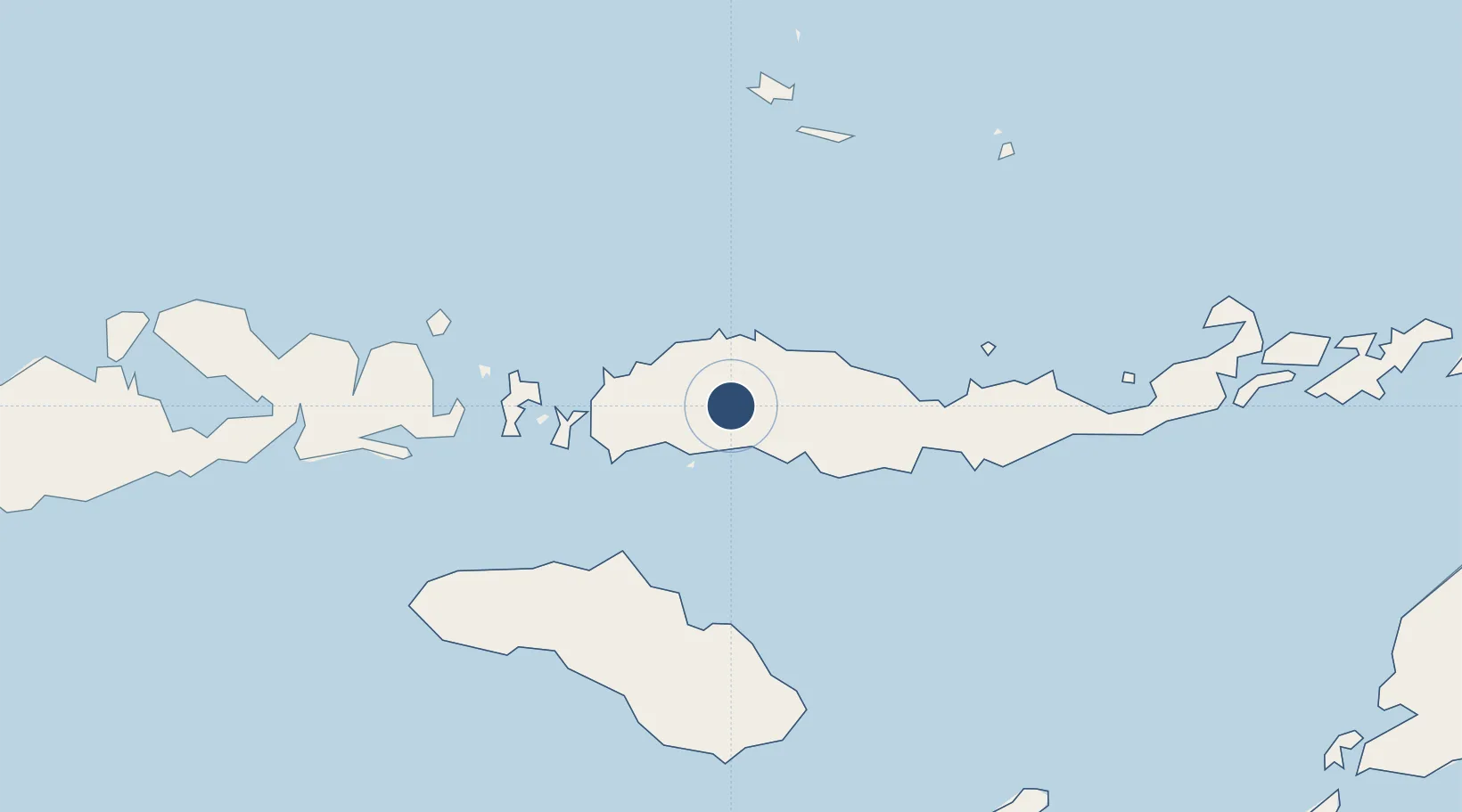
-8.5962°, 120.4782°
4,186 ft
Longest runway
1
Runways
3,510 ft
Elevation

Runway & Layout

Frans Sales Lega Airport runway & taxiway layout
Runway & taxiway layout — OpenStreetMap (ODbL) / OurAirports

Radio Frequencies

A/G
122.6 MHz
INFO
RDO
449.5 MHz
OurAirports

Navaids

RG NDB Ruteng 210 kHz
OurAirports

Runways · 1

RunwayDimensions SurfaceTrue headingLit
09/27 4,186 × 100ft Asphalt 094°
OurAirports

Airport Specifications

IATA code
RTG
OurAirports
ICAO code
WATG
OurAirports
Airport class
Small airport
OurAirports
Scheduled service
Yes
OurAirports
Runway surface
Asphalt
OurAirports
Served city
Satar Tacik, Manggarai
OurAirports

Location

Location of WATG
Natural Earth 10m (public domain) · Nusa Tenggara Timur · WATG · -8.60, 120.48GoogleOSMYandex

Nearby Logistics Neighbours

Airports
  1. 1Komodo Airport66 km
  2. 2Umbu Mehang Kunda Airport121 km
  3. 3H. Hasan Aroeboesman (Ende) Airport133 km
  4. 4Tambolaka Airport163 km
  5. 5Frans Xavier Seda Airport194 km
Nearest neighbours — logibook spatial index (haversine) over the source coordinates
Cities
  1. 1Reo31 km
  2. 2Labuan Bajo66 km
  3. 3Komodo108 km
  4. 4Waingapu, Sumba120 km
  5. 5Sape164 km
Nearest neighbours — logibook spatial index (haversine) over the source coordinates
Ports
  1. 1Waingapu119 km
  2. 2Ende132 km
  3. 3Maumere191 km
  4. 4Larantuka277 km
  5. 5Kupang383 km
Nearest neighbours — logibook spatial index (haversine) over the source coordinates
Trade Zones
  1. 1Bantaeng Industrial Park (BIP)351 km
  2. 2Terpadu Takalar Industrial Estate367 km
  3. 3Kawasan Industri Makassar403 km
  4. 4Oecusse Ambeno Enclave Special Zone For Social Market Economy (Zeesm)428 km
  5. 5KEK Mandalika461 km
Nearest neighbours — logibook spatial index (haversine) over the source coordinates
DatabookThe Record of Consolidated Knowledge
Indonesia beyond logistics?
Browse databook

All Sources

AirportsOurAirports
Public domain
Portsthe NGA World Port Index
Public domain (US gov)
LocationsUN/LOCODE
UN/LOCODE — free
Trade Zonesthe World Bank SEZ database
CC BY 4.0
Trade ZonesOpen Zone Map
CC BY
InfrastructureOpenStreetMap
ODbL 1.0
← Indonesia airports