Transport Functions
Port
Road
Hub Profile
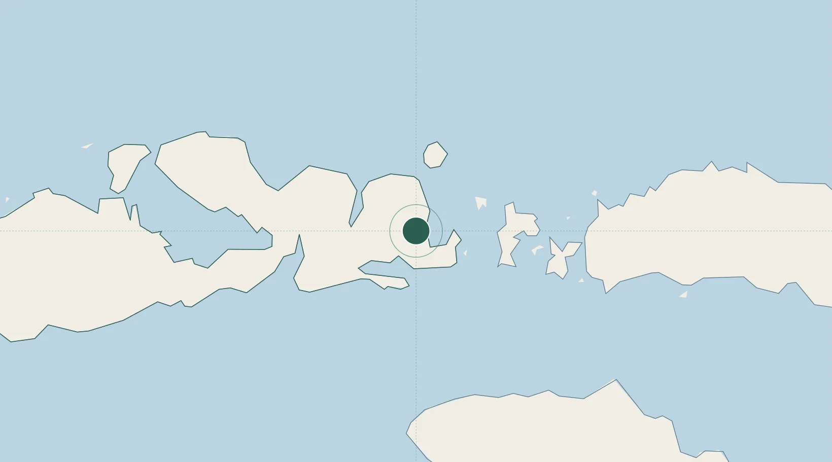
Place type
Populated place
Region
West Nusa Tenggara
Population
5,000
Time zone
Asia/Makassar
Elevation
27 m
Location
Nearby Logistics Neighbours
Cities
- 1Komodo57 km
- 2Labuan Bajo99 km
- 3Reo169 km
- 4Pelabuhan Badas178 km
- 5Waingapu, Sumba185 km
Ports
- 1Waingapu180 km
- 2Tanjung Benete248 km
- 3Ende295 km
- 4Ampenan321 km
- 5Maumere356 km
Airports
- 1Sultan Muhammad Salahuddin Airport33 km
- 2Tambolaka Airport98 km
- 3Komodo Airport100 km
- 4Frans Sales Lega Airport164 km
- 5Sultan Muhammad Kaharuddin III Airport173 km
Trade Zones
DatabookThe Record of Consolidated Knowledge
Indonesia beyond logistics?