Small airport · Indonesia

H. Hasan Aroeboesman (Ende) AirportWATE
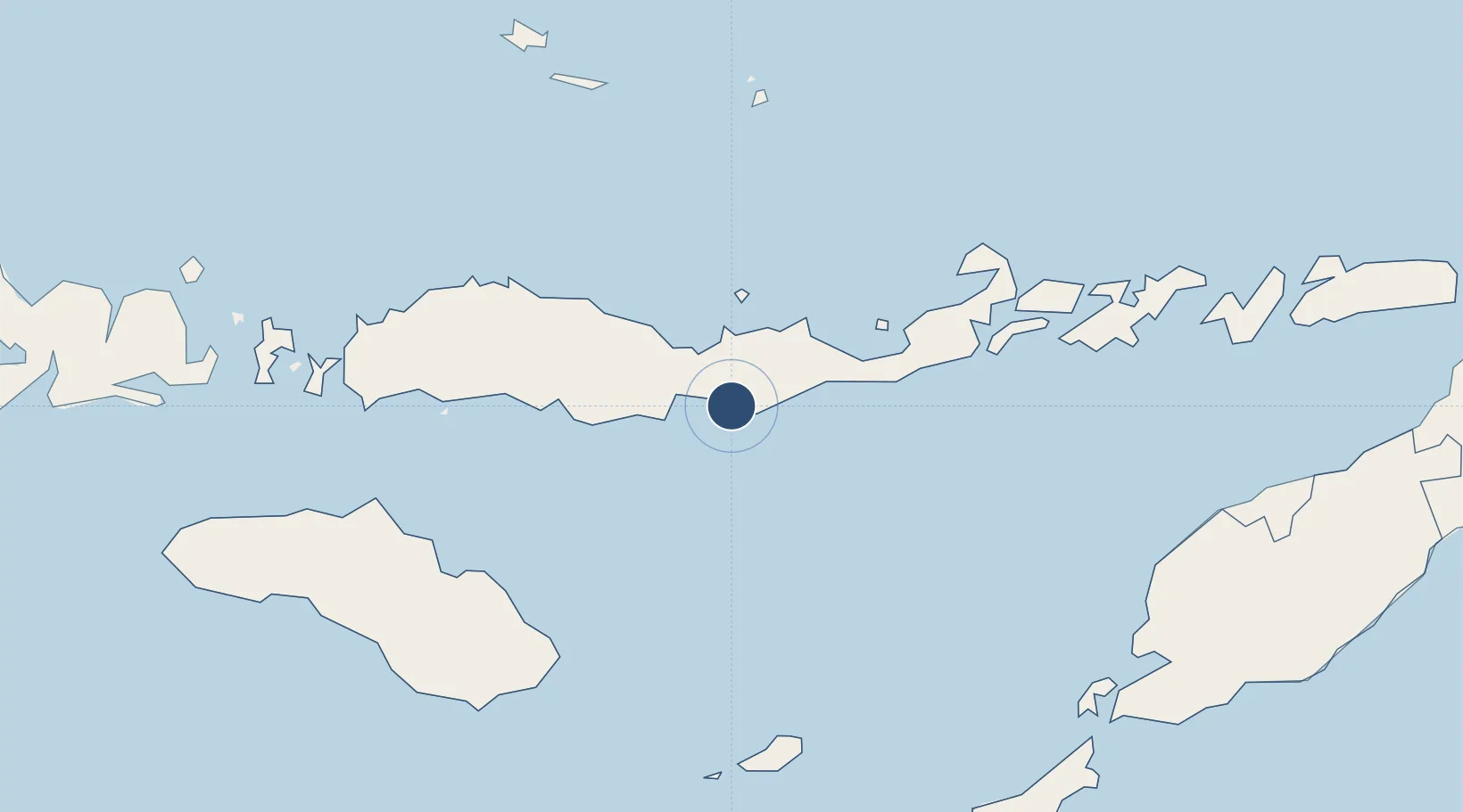
-8.8491°, 121.6610°
5,440 ft
Longest runway
1
Runways
49 ft
Elevation

Runway & Layout

H. Hasan Aroeboesman (Ende) Airport runway & taxiway layout
Runway & taxiway layout — OpenStreetMap (ODbL) / OurAirports

Radio Frequencies

RDO
118.7 MHz
OurAirports

Navaids

ED NDB Ende 350 kHz
OurAirports

Runways · 1

RunwayDimensions SurfaceTrue headingLit
09/27 5,440 × 98ft Asphalt 089°
OurAirports

Airport Specifications

IATA code
ENE
OurAirports
ICAO code
WATE
OurAirports
Airport class
Small airport
OurAirports
Scheduled service
Yes
OurAirports
Runway surface
Asphalt
OurAirports
Served city
Ende
OurAirports

Location

Location of WATE
Natural Earth 10m (public domain) · Nusa Tenggara Timur · WATE · -8.85, 121.66GoogleOSMYandex

Nearby Logistics Neighbours

Airports
  1. 1Frans Xavier Seda Airport68 km
  2. 2Frans Sales Lega Airport133 km
  3. 3Larantuka Gewayentana Airport161 km
  4. 4Umbu Mehang Kunda Airport175 km
  5. 5Komodo Airport199 km
Nearest neighbours — logibook spatial index (haversine) over the source coordinates
Cities
  1. 1Reo141 km
  2. 2Waingapu, Sumba177 km
  3. 3Labuan Bajo199 km
  4. 4Komodo239 km
  5. 5Kupang, Timor254 km
Nearest neighbours — logibook spatial index (haversine) over the source coordinates
Ports
  1. 1Ende2 km
  2. 2Maumere66 km
  3. 3Larantuka156 km
  4. 4Waingapu181 km
  5. 5Kupang257 km
Nearest neighbours — logibook spatial index (haversine) over the source coordinates
Trade Zones
  1. 1Oecusse Ambeno Enclave Special Zone For Social Market Economy (Zeesm)295 km
  2. 2Bantaeng Industrial Park (BIP)419 km
  3. 3Atauro Special Economic Zone439 km
  4. 4Terpadu Takalar Industrial Estate450 km
  5. 5Kawasan Industri Makassar480 km
Nearest neighbours — logibook spatial index (haversine) over the source coordinates
DatabookThe Record of Consolidated Knowledge
Indonesia beyond logistics?
Browse databook

All Sources

AirportsOurAirports
Public domain
Portsthe NGA World Port Index
Public domain (US gov)
LocationsUN/LOCODE
UN/LOCODE — free
Trade Zonesthe World Bank SEZ database
CC BY 4.0
Trade ZonesOpen Zone Map
CC BY
InfrastructureOpenStreetMap
ODbL 1.0
← Indonesia airports