Seaport · Indonesia

Tanjung BeneteIDBEN

-8.9000°, 116.7500°
11.0 m
Channel depth
13.9
Port liner connectivity
Tanjung Benete is also a UN/LOCODE logistics hub →

Channel & Berth Profile

SEA LEVEL (CD)CHANNEL BEDChannel · 11.0 mAnchorage · 11.0 mCargo pier · 11.0 mOil terminal · 11.0 m
NGA World Port Index

Pilotage, Tugs & Services

Pilotage compulsoryNO
Pilotage availableYES
Tug assistanceYES
Potable waterNO
Diesel bunkersNO
NGA World Port Index

Facilities & Capabilities

Container
Ro-Ro
Liquid bulk
Dry bulk
Oil terminal
Break bulk
Dry dock
Repairs
BunkeringNO
Rail link
Dangerous cargo
ISPS security
NGA World Port Index

Harbour Specifications

Harbour size
Very Small
NGA World Port Index
Harbour type
Coastal (Natural)
NGA World Port Index
Shelter
Poor
NGA World Port Index
Water body
Indian Ocean
NGA World Port Index
Pilotage
No
NGA World Port Index

Liner Connectivity

13.9
PLSCI

Port Liner Shipping Connectivity Index for Tanjung Benete, as published by UNCTAD for the latest available quarter. Higher values indicate stronger scheduled liner-shipping integration.

Shown relative to the highest per-port PLSCI in the dataset (1,657.9).
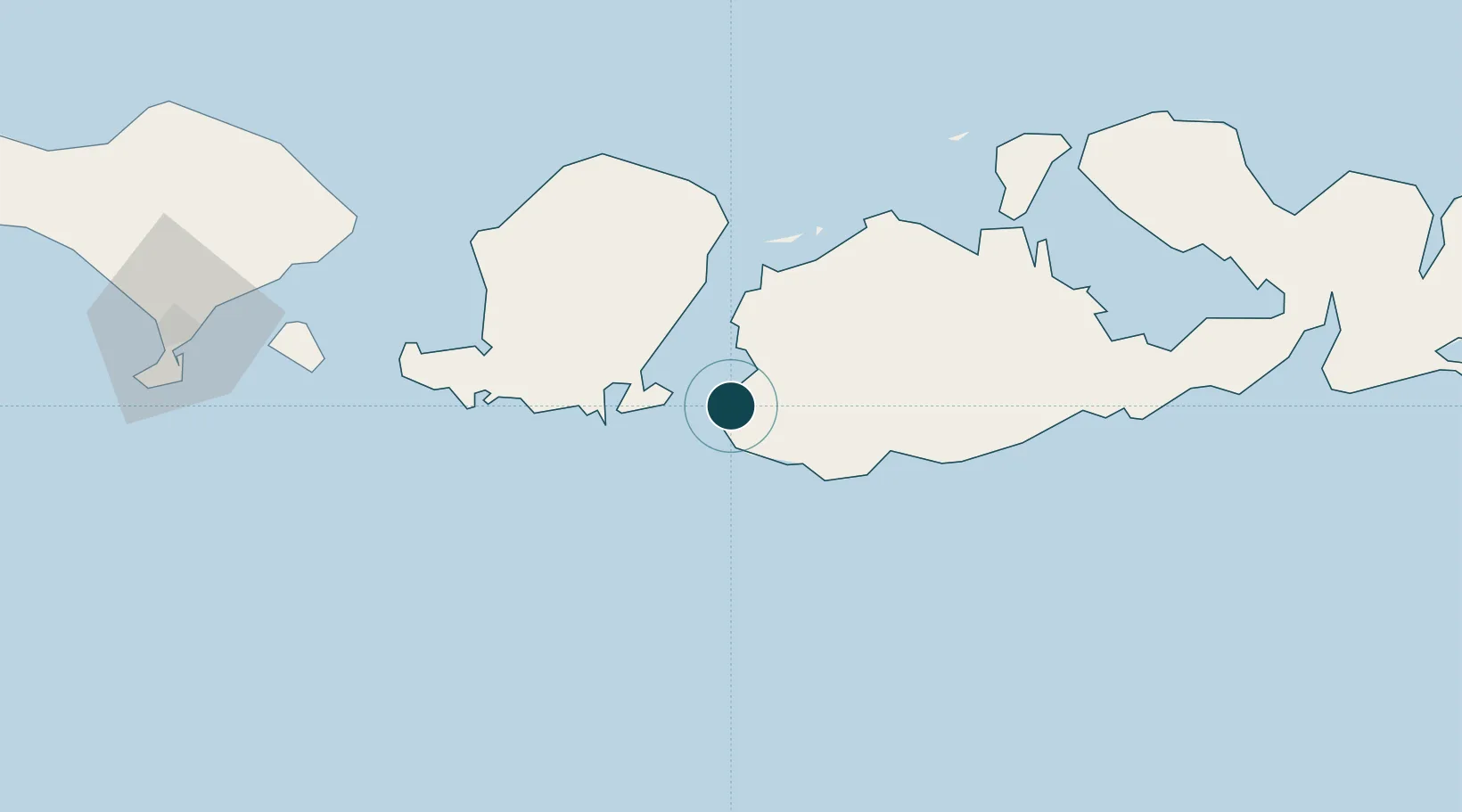
UNCTAD · Port Liner Shipping Connectivity Index

Location

Location of IDBEN
Natural Earth 10m (public domain) · Nusa Tenggara Barat · IDBEN · -8.90, 116.75GoogleOSMYandex

Nearby Logistics Neighbours

Ports
  1. 1Ampenan84 km
  2. 2Benoa169 km
  3. 3Celukan Bawang225 km
  4. 4Panarukan337 km
  5. 5Waingapu389 km
Nearest neighbours — logibook spatial index (haversine) over the source coordinates
Cities
  1. 1Cereweh12 km
  2. 2Sunut22 km
  3. 3Poto Tano44 km
  4. 4Lombok45 km
  5. 5Kahyangan47 km
Nearest neighbours — logibook spatial index (haversine) over the source coordinates
Airports
  1. 1Lombok International Airport54 km
  2. 2Sultan Muhammad Kaharuddin III Airport86 km
  3. 3Denpasar I Gusti Ngurah Rai International Airport175 km
  4. 4Discovery Kartika Plaza Heliport175 km
  5. 5Sultan Muhammad Salahuddin Airport217 km
Nearest neighbours — logibook spatial index (haversine) over the source coordinates
Trade Zones
  1. 1KEK Mandalika50 km
  2. 2Pasuruan Industrial Estate Rembang455 km
  3. 3KEK Singhasari466 km
  4. 4Safe N Lock Industrial Estate469 km
  5. 5Surabaya Industrial Estate - Rungkut473 km
Nearest neighbours — logibook spatial index (haversine) over the source coordinates
DatabookThe Record of Consolidated Knowledge
Indonesia beyond logistics?
Browse databook

All Sources

Portsthe NGA World Port Index
Public domain (US gov)
Logistics performanceUNCTAD
CC BY 3.0 IGO
AirportsOurAirports
Public domain
LocationsUN/LOCODE
UN/LOCODE — free
Trade Zonesthe World Bank SEZ database
CC BY 4.0
Trade ZonesOpen Zone Map
CC BY
← Indonesia ports