UN/LOCODE hub · Indonesia
IDLBO
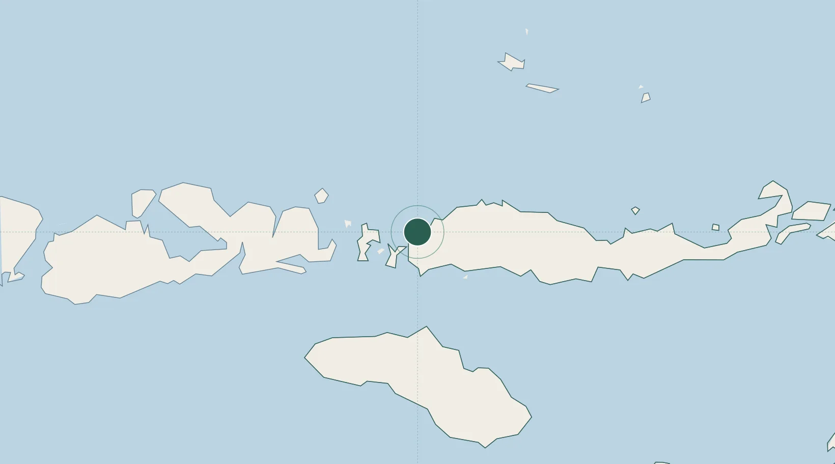
Labuan Bajo
-8.5000°, 119.8833°
188,724
Population
2
Transport functions
Transport Functions
Port
Road
Hub Profile
Place type
Provincial seat
Region
East Nusa Tenggara
Population
188,724
Time zone
Asia/Makassar
Elevation
63 m
Location
Nearby Logistics Neighbours
Cities
- 1Komodo43 km
- 2Reo71 km
- 3Sape99 km
- 4Waingapu, Sumba135 km
- 5Pelabuhan Badas277 km
Ports
- 1Waingapu131 km
- 2Ende198 km
- 3Maumere257 km
- 4Larantuka341 km
- 5Tanjung Benete347 km
Airports
- 1Komodo Airport2 km
- 2Frans Sales Lega Airport66 km
- 3Tambolaka Airport123 km
- 4Sultan Muhammad Salahuddin Airport132 km
- 5Umbu Mehang Kunda Airport138 km
Trade Zones
DatabookThe Record of Consolidated Knowledge
Indonesia beyond logistics?