Seaport · Indonesia

MaumereIDMOF

-8.6167°, 122.2167°
6.4 m
Channel depth
8.9
Port liner connectivity

Channel & Berth Profile

SEA LEVEL (CD)CHANNEL BEDChannel · 6.4 mCargo pier · 6.4 mOil terminal · 6.4 mAnchorage · 23.2 m
NGA World Port Index

Pilotage, Tugs & Services

Pilotage compulsoryNO
Pilotage availableYES
Pilotage advisableYES
Local assistanceYES
Potable waterYES
MedicalYES
NGA World Port Index

Facilities & Capabilities

Container
Ro-Ro
Liquid bulk
Dry bulk
Oil terminal
Break bulk
Dry dock
Repairs
BunkeringYES
Rail link
Dangerous cargo
ISPS security
NGA World Port Index

Harbour Specifications

Harbour size
Very Small
NGA World Port Index
Harbour type
Open Roadstead
NGA World Port Index
Shelter
Fair
NGA World Port Index
Water body
Flores Sea; Java Sea; South Pacific Ocean
NGA World Port Index
Tidal range
2 m
NGA World Port Index
Pilotage
No
NGA World Port Index

Liner Connectivity

8.9
PLSCI

Port Liner Shipping Connectivity Index for Maumere, as published by UNCTAD for the latest available quarter. Higher values indicate stronger scheduled liner-shipping integration.

Shown relative to the highest per-port PLSCI in the dataset (1,657.9).
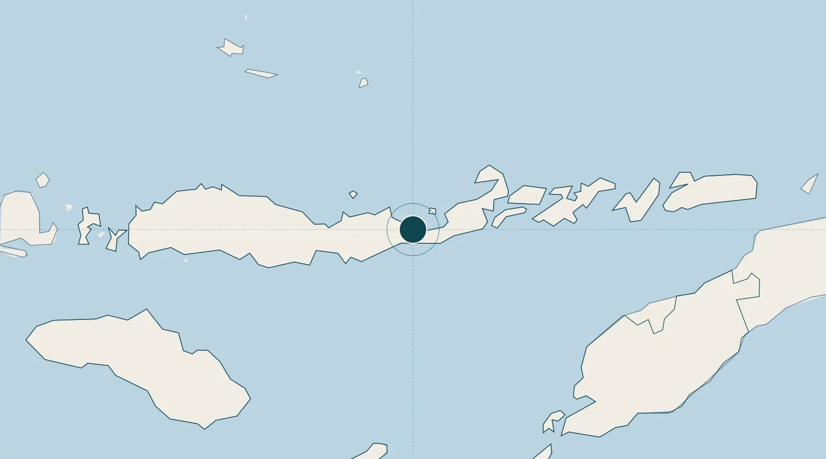
UNCTAD · Port Liner Shipping Connectivity Index

Location

Location of IDMOF
Natural Earth 10m (public domain) · Nusa Tenggara Timur · IDMOF · -8.62, 122.22GoogleOSMYandex

Nearby Logistics Neighbours

Ports
  1. 1Ende67 km
  2. 2Larantuka89 km
  3. 3Kupang228 km
  4. 4Waingapu247 km
  5. 5Baubau353 km
Nearest neighbours — logibook spatial index (haversine) over the source coordinates
Cities
  1. 1Reo192 km
  2. 2Kupang, Timor227 km
  3. 3Waingapu, Sumba243 km
  4. 4Kalabahi257 km
  5. 5Labuan Bajo257 km
Nearest neighbours — logibook spatial index (haversine) over the source coordinates
Airports
  1. 1Frans Xavier Seda Airport4 km
  2. 2H. Hasan Aroeboesman (Ende) Airport66 km
  3. 3Larantuka Gewayentana Airport94 km
  4. 4Frans Sales Lega Airport191 km
  5. 5El Tari Airport235 km
Nearest neighbours — logibook spatial index (haversine) over the source coordinates
Trade Zones
  1. 1Oecusse Ambeno Enclave Special Zone For Social Market Economy (Zeesm)242 km
  2. 2Atauro Special Economic Zone375 km
  3. 3Bantaeng Industrial Park (BIP)428 km
  4. 4Terpadu Takalar Industrial Estate467 km
  5. 5Kawasan Industri Makassar493 km
Nearest neighbours — logibook spatial index (haversine) over the source coordinates
DatabookThe Record of Consolidated Knowledge
Indonesia beyond logistics?
Browse databook

All Sources

Portsthe NGA World Port Index
Public domain (US gov)
Logistics performanceUNCTAD
CC BY 3.0 IGO
AirportsOurAirports
Public domain
LocationsUN/LOCODE
UN/LOCODE — free
Trade Zonesthe World Bank SEZ database
CC BY 4.0
Trade ZonesOpen Zone Map
CC BY
← Indonesia ports