Seaport · Indonesia

EndeIDENE

-8.8333°, 121.6500°
4.9 m
Channel depth

Channel & Berth Profile

SEA LEVEL (CD)CHANNEL BEDChannel · 4.9 mCargo pier · 4.9 mOil terminal · 6.4 mAnchorage · 23.2 m
NGA World Port Index

Pilotage, Tugs & Services

Potable waterYES
MedicalYES
NGA World Port Index

Facilities & Capabilities

Container
Ro-Ro
Liquid bulk
Dry bulk
Oil terminal
Break bulk
Dry dock
RepairsNO
Bunkering
Rail link
Dangerous cargo
ISPS security
NGA World Port Index

Harbour Specifications

Harbour size
Very Small
NGA World Port Index
Harbour type
Coastal (Natural)
NGA World Port Index
Shelter
Fair
NGA World Port Index
Water body
Savu Sea; Indian Ocean
NGA World Port Index
Tidal range
2 m
NGA World Port Index

Location

Location of IDENE
Natural Earth 10m (public domain) · Nusa Tenggara Timur · IDENE · -8.83, 121.65GoogleOSMYandex

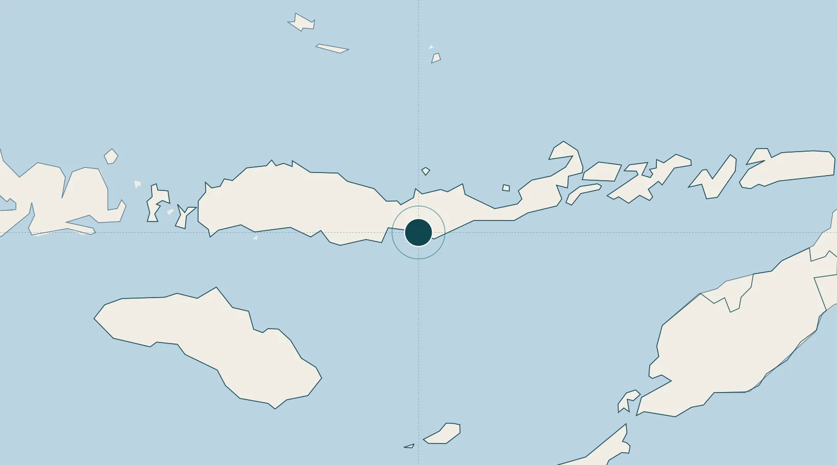
Nearby Logistics Neighbours

Ports
  1. 1Maumere67 km
  2. 2Larantuka156 km
  3. 3Waingapu181 km
  4. 4Kupang259 km
  5. 5Baubau389 km
Nearest neighbours — logibook spatial index (haversine) over the source coordinates
Cities
  1. 1Reo139 km
  2. 2Waingapu, Sumba177 km
  3. 3Labuan Bajo198 km
  4. 4Komodo238 km
  5. 5Kupang, Timor256 km
Nearest neighbours — logibook spatial index (haversine) over the source coordinates
Airports
  1. 1H. Hasan Aroeboesman (Ende) Airport2 km
  2. 2Frans Xavier Seda Airport68 km
  3. 3Frans Sales Lega Airport132 km
  4. 4Larantuka Gewayentana Airport161 km
  5. 5Umbu Mehang Kunda Airport175 km
Nearest neighbours — logibook spatial index (haversine) over the source coordinates
Trade Zones
  1. 1Oecusse Ambeno Enclave Special Zone For Social Market Economy (Zeesm)296 km
  2. 2Bantaeng Industrial Park (BIP)417 km
  3. 3Atauro Special Economic Zone440 km
  4. 4Terpadu Takalar Industrial Estate448 km
  5. 5Kawasan Industri Makassar478 km
Nearest neighbours — logibook spatial index (haversine) over the source coordinates
DatabookThe Record of Consolidated Knowledge
Indonesia beyond logistics?
Browse databook

All Sources

Portsthe NGA World Port Index
Public domain (US gov)
AirportsOurAirports
Public domain
LocationsUN/LOCODE
UN/LOCODE — free
Trade Zonesthe World Bank SEZ database
CC BY 4.0
Trade ZonesOpen Zone Map
CC BY
← Indonesia ports