Free Trade Zone · Timor-Leste

Oecusse Ambeno Enclave Special Zone For Social Market Economy (Zeesm) Active
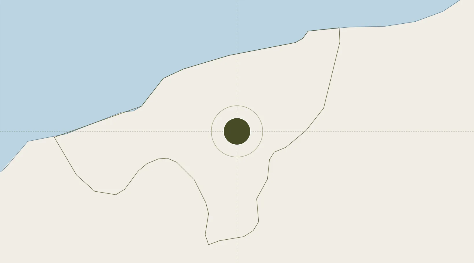
-9.3333°, 124.3000°
81,326 ha
Zone area
121.5 km
Nearest port
15.6 km
Nearest airport

Gateway access

Nearest neighbours — logibook spatial index (haversine) over the source coordinates

Zone profile

Zone type
Free Trade Zone
Open Zone Map
Region
Ambeno
Open Zone Map
Status
Active
Open Zone Map
Management
Public
Open Zone Map
Operator
Special Administrative Region Authority of Oecussi Ambeno (RAEOA)
Open Zone Map
Legal framework
Decree-Law No. 3/2014
Open Zone Map

Location

Location of ozm-4510
Natural Earth 10m (public domain) · Ambeno · ozm-4510 · -9.33, 124.30GoogleOSMYandex

Nearby Logistics Neighbours

Ports
  1. 1Kupang122 km
  2. 2Dili167 km
  3. 3Larantuka181 km
  4. 4Maumere242 km
  5. 5Ende296 km
Nearest neighbours — logibook spatial index (haversine) over the source coordinates
Cities
  1. 1Kalabahi126 km
  2. 2Kupang, Timor128 km
  3. 3Dili164 km
  4. 4Challis Venture (oil Terminal)319 km
  5. 5Montara Field418 km
Nearest neighbours — logibook spatial index (haversine) over the source coordinates
Trade Zones
  1. 1Atauro Special Economic Zone189 km
  2. 2Bantaeng Industrial Park (BIP)642 km
  3. 3Terpadu Takalar Industrial Estate689 km
  4. 4Kawasan Industri Makassar708 km
  5. 5Morowali Industrial Park762 km
Nearest neighbours — logibook spatial index (haversine) over the source coordinates
DatabookThe Record of Consolidated Knowledge
Timor-Leste beyond logistics?
Browse databook

All Sources

Trade ZonesOpen Zone Map
CC BY
Portsthe NGA World Port Index
Public domain (US gov)
AirportsOurAirports
Public domain
LocationsUN/LOCODE
UN/LOCODE — free
← Timor-Leste trade zones