Specialized Zone · Indonesia

Bantaeng Industrial Park (BIP) Under Development
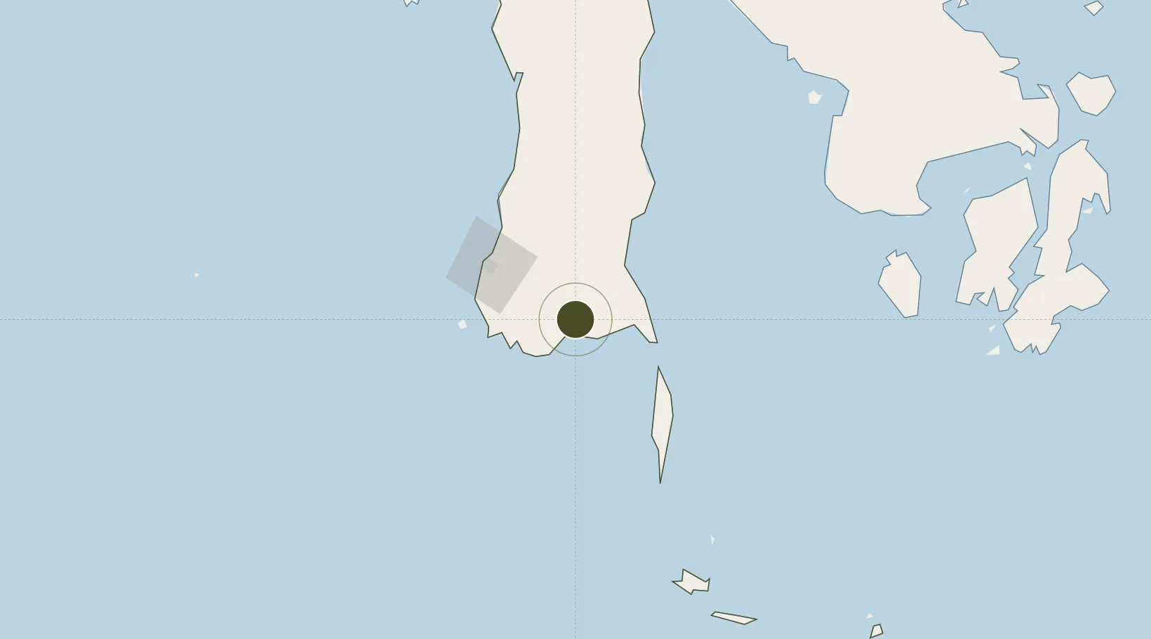
-5.4782°, 119.9661°
3,000 ha
Zone area
73.5 km
Nearest port
64.0 km
Nearest airport

Gateway access

Nearest neighbours — logibook spatial index (haversine) over the source coordinates

Zone profile

Zone type
Specialized Zone
Open Zone Map
Specialization
Mining
Open Zone Map
Region
Sulawesi Selatan
Open Zone Map
Status
Under Development
Open Zone Map
Management
Public-Private Partnership
Open Zone Map
Operator
PT ISDN Bantaeng Corporation
Open Zone Map
Legal framework
Law Of The Republic Of Indonesia Number 3 Of 2014 On Industrial Affairs
Open Zone Map

Location

Location of ozm-2456
Natural Earth 10m (public domain) · Sulawesi Selatan · ozm-2456 · -5.48, 119.97GoogleOSMYandex

Nearby Logistics Neighbours

Ports
  1. 1Ujung Pandang74 km
  2. 2Parepare169 km
  3. 3Pomalaa233 km
  4. 4Baubau293 km
  5. 5Raha Roadstead314 km
Nearest neighbours — logibook spatial index (haversine) over the source coordinates
Airports
  1. 1Sultan Hasanuddin International Airport64 km
  2. 2Selayar - Haji Aroeppala Airport94 km
  3. 3Sangia Nibandera Airport214 km
  4. 4Toraja Airport255 km
  5. 5Bua - Palopo Lagaligo Airport268 km
Nearest neighbours — logibook spatial index (haversine) over the source coordinates
Cities
  1. 1Makassar70 km
  2. 2Panakukang72 km
  3. 3Shahriar72 km
  4. 4Biringkassi91 km
  5. 5Kolaka238 km
Nearest neighbours — logibook spatial index (haversine) over the source coordinates
Trade Zones
  1. 1Terpadu Takalar Industrial Estate61 km
  2. 2Kawasan Industri Makassar66 km
  3. 3Morowali Industrial Park382 km
  4. 4Palu Special Economic Zone530 km
  5. 5KEK Mandalika555 km
Nearest neighbours — logibook spatial index (haversine) over the source coordinates
DatabookThe Record of Consolidated Knowledge
Indonesia beyond logistics?
Browse databook

All Sources

Trade ZonesOpen Zone Map
CC BY
Portsthe NGA World Port Index
Public domain (US gov)
AirportsOurAirports
Public domain
LocationsUN/LOCODE
UN/LOCODE — free
← Indonesia trade zones