Small airport · Indonesia

Umbu Mehang Kunda AirportWADW
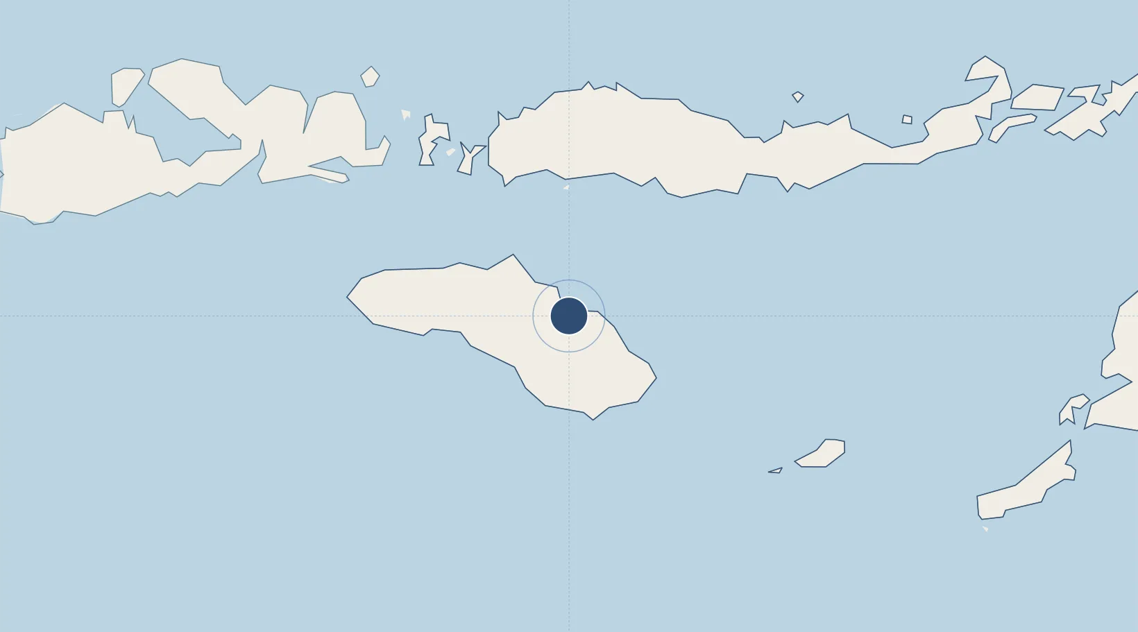
-9.6692°, 120.3020°
5,415 ft
Longest runway
1
Runways
33 ft
Elevation

Runway & Layout

Umbu Mehang Kunda Airport runway & taxiway layout
Runway & taxiway layout — OpenStreetMap (ODbL) / OurAirports

Radio Frequencies

AFIS
122.2 MHz
INFO
OurAirports

Runways · 1

RunwayDimensions SurfaceTrue headingLit
15/33 5,415 × 98ft Asphalt 151°
OurAirports

Airport Specifications

IATA code
WGP
OurAirports
ICAO code
WATU
OurAirports
Airport class
Small airport
OurAirports
Scheduled service
Yes
OurAirports
Runway surface
Asphalt
OurAirports
Served city
Waingapu-Sumba Island
OurAirports

Location

Location of WADW
Natural Earth 10m (public domain) · Nusa Tenggara Timur · WADW · -9.67, 120.30GoogleOSMYandex

Nearby Logistics Neighbours

Airports
  1. 1Tambolaka Airport120 km
  2. 2Frans Sales Lega Airport121 km
  3. 3Komodo Airport140 km
  4. 4H. Hasan Aroeboesman (Ende) Airport175 km
  5. 5Sultan Muhammad Salahuddin Airport218 km
Nearest neighbours — logibook spatial index (haversine) over the source coordinates
Cities
  1. 1Waingapu, Sumba4 km
  2. 2Labuan Bajo138 km
  3. 3Komodo149 km
  4. 4Reo152 km
  5. 5Sape190 km
Nearest neighbours — logibook spatial index (haversine) over the source coordinates
Ports
  1. 1Waingapu10 km
  2. 2Ende175 km
  3. 3Maumere241 km
  4. 4Larantuka329 km
  5. 5Kupang364 km
Nearest neighbours — logibook spatial index (haversine) over the source coordinates
Trade Zones
  1. 1Oecusse Ambeno Enclave Special Zone For Social Market Economy (Zeesm)440 km
  2. 2KEK Mandalika448 km
  3. 3Bantaeng Industrial Park (BIP)468 km
  4. 4Terpadu Takalar Industrial Estate477 km
  5. 5Kawasan Industri Makassar515 km
Nearest neighbours — logibook spatial index (haversine) over the source coordinates
DatabookThe Record of Consolidated Knowledge
Indonesia beyond logistics?
Browse databook

All Sources

AirportsOurAirports
Public domain
Portsthe NGA World Port Index
Public domain (US gov)
LocationsUN/LOCODE
UN/LOCODE — free
Trade Zonesthe World Bank SEZ database
CC BY 4.0
Trade ZonesOpen Zone Map
CC BY
InfrastructureOpenStreetMap
ODbL 1.0
← Indonesia airports