UN/LOCODE hub · Indonesia
IDKBH

Kalabahi

-8.2167°, 124.5167°
19,210
Population
2
Transport functions

Transport Functions

Port
Road
UN/LOCODE

Hub Profile

Place type
Provincial seat
GeoNames
Region
East Nusa Tenggara
GeoNames
Population
19,210
GeoNames
Time zone
Asia/Makassar
GeoNames
Elevation
33 m
GeoNames

Location

Location of IDKBH
Natural Earth 10m (public domain) · East Nusa Tenggara · IDKBH · -8.22, 124.52GoogleOSMYandex

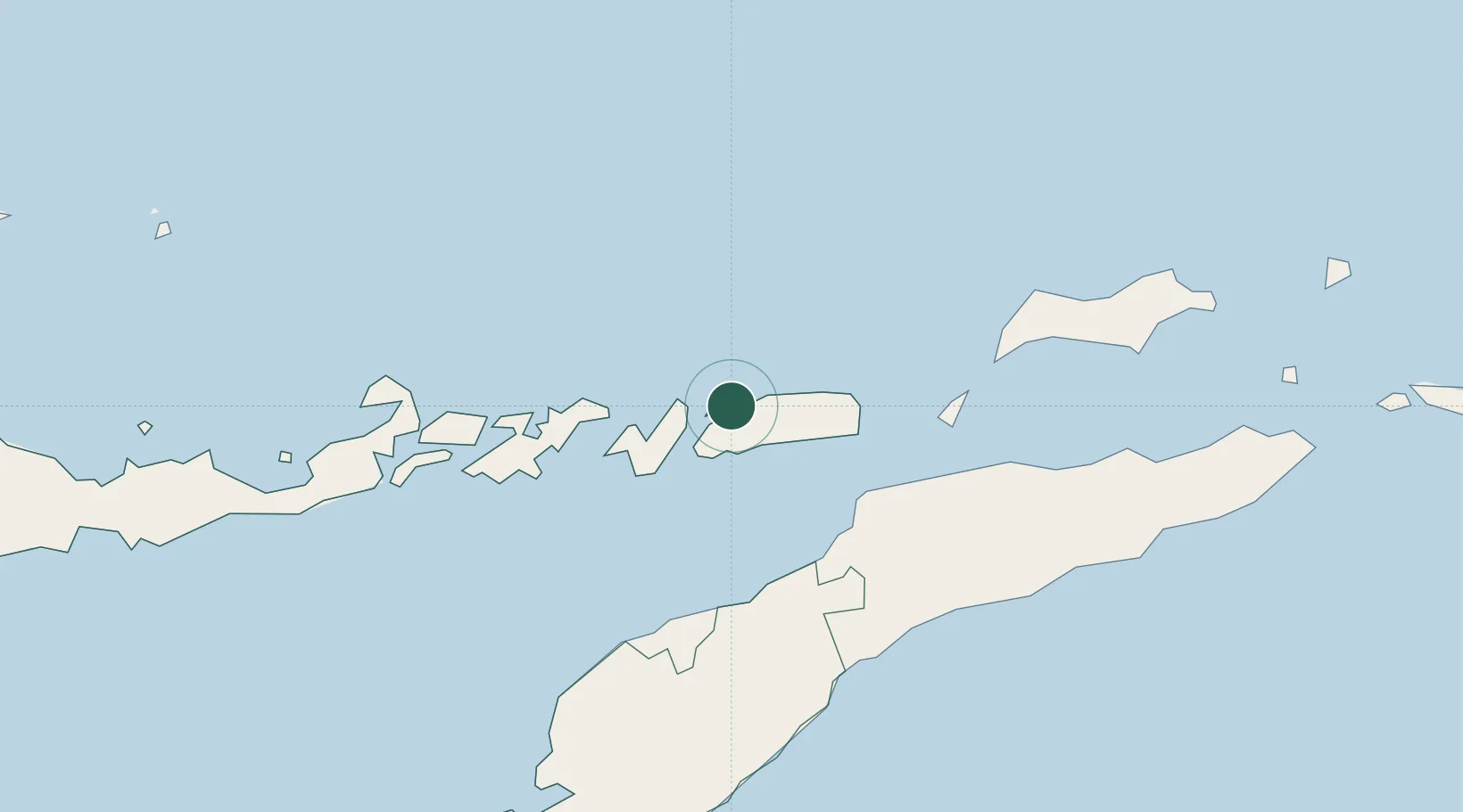
Nearby Logistics Neighbours

Cities
  1. 1Dili121 km
  2. 2Kupang, Timor246 km
  3. 3Challis Venture (oil Terminal)437 km
  4. 4Reo442 km
  5. 5Waingapu, Sumba493 km
Nearest neighbours — logibook spatial index (haversine) over the source coordinates
Ports
  1. 1Dili123 km
  2. 2Larantuka169 km
  3. 3Kupang240 km
  4. 4Maumere257 km
  5. 5Ende323 km
Nearest neighbours — logibook spatial index (haversine) over the source coordinates
Trade Zones
  1. 1Atauro Special Economic Zone120 km
  2. 2Oecusse Ambeno Enclave Special Zone For Social Market Economy (Zeesm)126 km
  3. 3Bantaeng Industrial Park (BIP)587 km
  4. 4Terpadu Takalar Industrial Estate641 km
  5. 5Kawasan Industri Makassar653 km
Nearest neighbours — logibook spatial index (haversine) over the source coordinates
DatabookThe Record of Consolidated Knowledge
Indonesia beyond logistics?
Browse databook

All Sources

LocationsUN/LOCODE
UN/LOCODE — free
LocationsGeoNames
CC BY 4.0
Portsthe NGA World Port Index
Public domain (US gov)
AirportsOurAirports
Public domain
Trade Zonesthe World Bank SEZ database
CC BY 4.0
Trade ZonesOpen Zone Map
CC BY
← Indonesia locations