Channel & Berth Profile
Pilotage, Tugs & Services
MedicalYES
Garbage disposalYES
Facilities & Capabilities
Container—
Ro-Ro—
Liquid bulk—
Dry bulk—
Oil terminal—
Break bulk—
Dry dock—
RepairsNO
Bunkering—
Rail link—
Dangerous cargo—
ISPS security—
Harbour Specifications
Harbour size
Very Small
Harbour type
Coastal (Natural)
Shelter
Good
Water body
Banda Sea; South Pacific Ocean
Tidal range
4 m
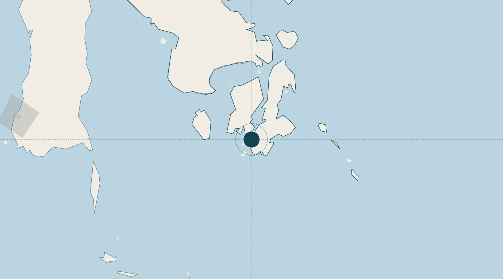
Location
Nearby Logistics Neighbours
Ports
- 1Raha Roadstead70 km
- 2Kendari167 km
- 3Pomalaa183 km
- 4Larantuka323 km
- 5Maumere353 km
Cities
- 1Kendari, Sulawesi165 km
- 2Kolaka196 km
- 3Pomalaa, Sulawesi196 km
- 4Makassar353 km
- 5Biringkassi355 km
Airports
- 1Matahora Airport115 km
- 2Haluoleo Airport156 km
- 3Sangia Nibandera Airport174 km
- 4Selayar - Haji Aroeppala Airport254 km
- 5Larantuka Gewayentana Airport315 km
Trade Zones
- 1Bantaeng Industrial Park (BIP)293 km
- 2Morowali Industrial Park298 km
- 3Kawasan Industri Makassar348 km
- 4Terpadu Takalar Industrial Estate355 km
- 5Atauro Special Economic Zone450 km
DatabookThe Record of Consolidated Knowledge
Indonesia beyond logistics?