Free Trade Zone · Timor-Leste

Atauro Special Economic Zone Active
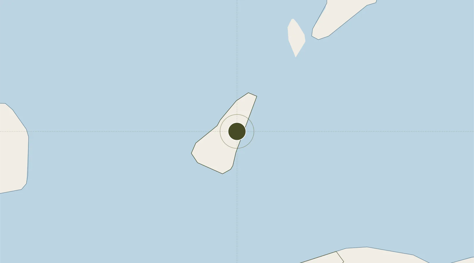
-8.2218°, 125.6065°
14,010 ha
Zone area
34.7 km
Nearest port
37.2 km
Nearest airport

Gateway access

Nearest neighbours — logibook spatial index (haversine) over the source coordinates

Zone profile

Zone type
Free Trade Zone
Open Zone Map
Region
Dili
Open Zone Map
Status
Active
Open Zone Map
Management
Public
Open Zone Map
Operator
Special Administrative Region Authority of Oecussi Ambeno (RAEOA)
Open Zone Map
Legal framework
Decree-Law No. 3/2014
Open Zone Map

Location

Location of ozm-4511
Natural Earth 10m (public domain) · Dili · ozm-4511 · -8.22, 125.61GoogleOSMYandex

Nearby Logistics Neighbours

Ports
  1. 1Dili35 km
  2. 2Larantuka289 km
  3. 3Kupang310 km
  4. 4Maumere375 km
  5. 5Ende440 km
Nearest neighbours — logibook spatial index (haversine) over the source coordinates
Cities
  1. 1Dili37 km
  2. 2Kalabahi120 km
  3. 3Kupang, Timor317 km
  4. 4Challis Venture (oil Terminal)438 km
  5. 5Wamsasi521 km
Nearest neighbours — logibook spatial index (haversine) over the source coordinates
Trade Zones
  1. 1Oecusse Ambeno Enclave Special Zone For Social Market Economy (Zeesm)189 km
  2. 2Bantaeng Industrial Park (BIP)693 km
  3. 3Morowali Industrial Park711 km
  4. 4Terpadu Takalar Industrial Estate749 km
  5. 5Kawasan Industri Makassar758 km
Nearest neighbours — logibook spatial index (haversine) over the source coordinates
DatabookThe Record of Consolidated Knowledge
Timor-Leste beyond logistics?
Browse databook

All Sources

Trade ZonesOpen Zone Map
CC BY
Portsthe NGA World Port Index
Public domain (US gov)
AirportsOurAirports
Public domain
LocationsUN/LOCODE
UN/LOCODE — free
← Timor-Leste trade zones