Small airport · Indonesia

Frans Xavier Seda AirportWATC
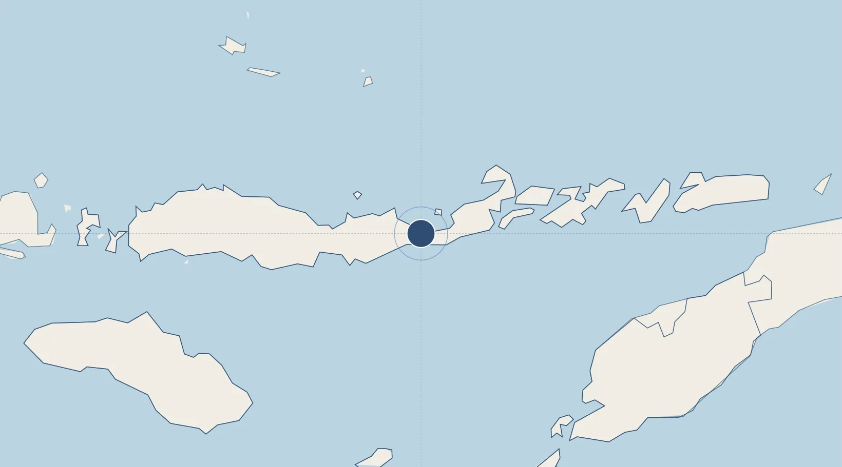
-8.6395°, 122.2381°
5,980 ft
Longest runway
1
Runways
115 ft
Elevation

Runway & Layout

Frans Xavier Seda Airport runway & taxiway layout
Runway & taxiway layout — OpenStreetMap (ODbL) / OurAirports

Radio Frequencies

AFIS
122.3 MHz
OurAirports

Navaids

MOF VOR-DME Maumere 114.50 MHz
NO NDB Maumere 250 kHz
OurAirports

Runways · 1

RunwayDimensions SurfaceTrue headingLit
05/23 5,980 × 98ft Asphalt 051°
OurAirports

Airport Specifications

IATA code
MOF
OurAirports
ICAO code
WATC
OurAirports
Airport class
Small airport
OurAirports
Scheduled service
Yes
OurAirports
Runway surface
Asphalt
OurAirports
Served city
Waioti
OurAirports

Location

Location of WATC
Natural Earth 10m (public domain) · Nusa Tenggara Timur · WATC · -8.64, 122.24GoogleOSMYandex

Nearby Logistics Neighbours

Airports
  1. 1H. Hasan Aroeboesman (Ende) Airport68 km
  2. 2Larantuka Gewayentana Airport93 km
  3. 3Frans Sales Lega Airport194 km
  4. 4El Tari Airport232 km
  5. 5Oecusse Route of the Sandalwood International Airport239 km
Nearest neighbours — logibook spatial index (haversine) over the source coordinates
Cities
  1. 1Reo195 km
  2. 2Kupang, Timor224 km
  3. 3Waingapu, Sumba244 km
  4. 4Kalabahi255 km
  5. 5Labuan Bajo259 km
Nearest neighbours — logibook spatial index (haversine) over the source coordinates
Ports
  1. 1Maumere4 km
  2. 2Ende68 km
  3. 3Larantuka88 km
  4. 4Kupang225 km
  5. 5Waingapu248 km
Nearest neighbours — logibook spatial index (haversine) over the source coordinates
Trade Zones
  1. 1Oecusse Ambeno Enclave Special Zone For Social Market Economy (Zeesm)239 km
  2. 2Atauro Special Economic Zone373 km
  3. 3Bantaeng Industrial Park (BIP)432 km
  4. 4Terpadu Takalar Industrial Estate471 km
  5. 5Kawasan Industri Makassar496 km
Nearest neighbours — logibook spatial index (haversine) over the source coordinates
DatabookThe Record of Consolidated Knowledge
Indonesia beyond logistics?
Browse databook

All Sources

AirportsOurAirports
Public domain
Portsthe NGA World Port Index
Public domain (US gov)
LocationsUN/LOCODE
UN/LOCODE — free
Trade Zonesthe World Bank SEZ database
CC BY 4.0
Trade ZonesOpen Zone Map
CC BY
InfrastructureOpenStreetMap
ODbL 1.0
← Indonesia airports