Small airport · Indonesia

Larantuka Gewayentana AirportWATL
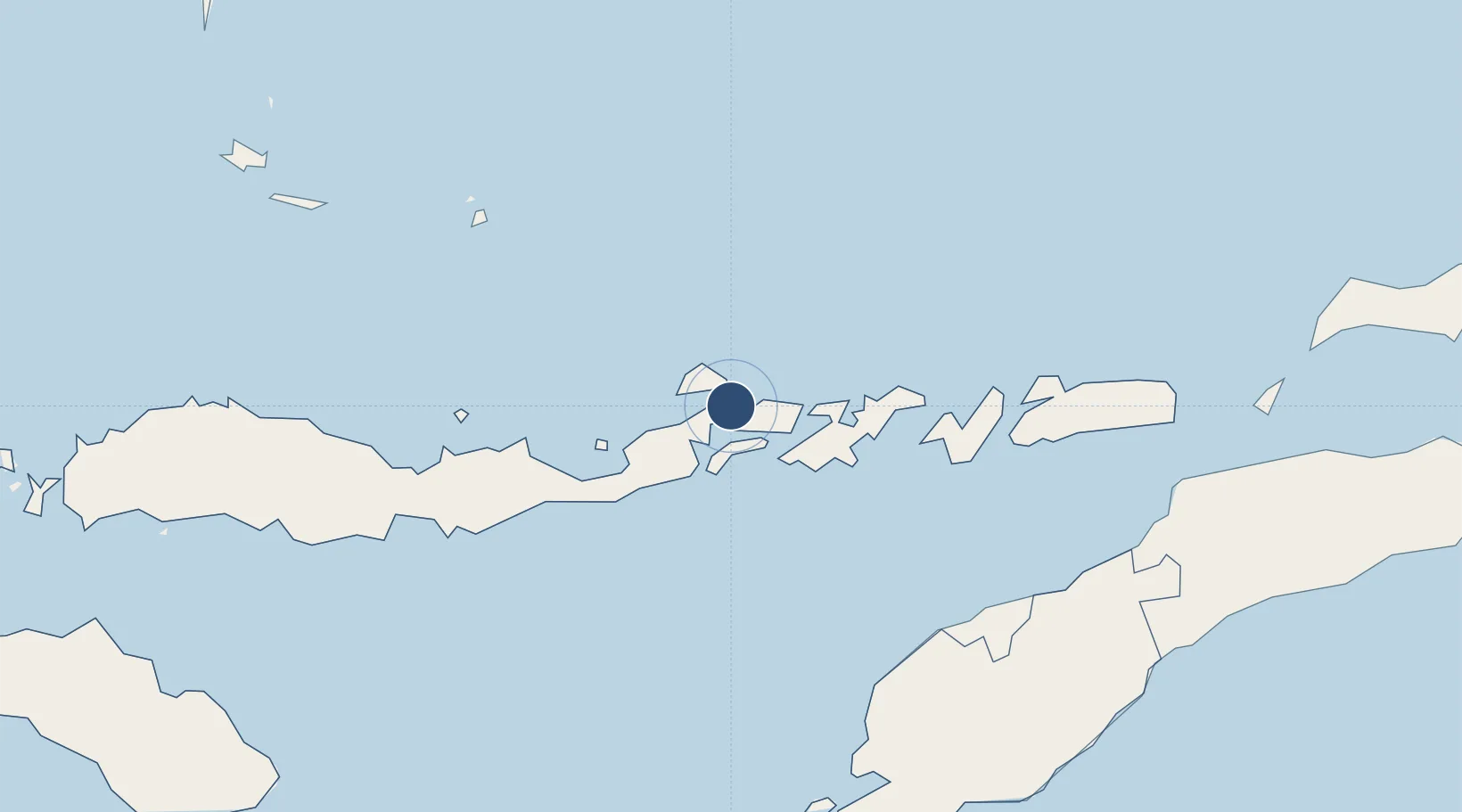
-8.2744°, 123.0020°
2,953 ft
Longest runway
1
Runways
63 ft
Elevation

Runway & Layout

Larantuka Gewayentana Airport runway & taxiway layout
Runway & taxiway layout — OpenStreetMap (ODbL) / OurAirports

Runways · 1

RunwayDimensions SurfaceTrue headingLit
10/28 2,953 × 75ft Asphalt
OurAirports

Airport Specifications

IATA code
LKA
OurAirports
ICAO code
WATL
OurAirports
Airport class
Small airport
OurAirports
Scheduled service
Yes
OurAirports
Runway surface
Asphalt
OurAirports
Served city
Tiwatobi
OurAirports

Location

Location of WATL
Natural Earth 10m (public domain) · Nusa Tenggara Timur · WATL · -8.27, 123.00GoogleOSMYandex

Nearby Logistics Neighbours

Airports
  1. 1Frans Xavier Seda Airport93 km
  2. 2H. Hasan Aroeboesman (Ende) Airport161 km
  3. 3Alor Island - Mali Airport176 km
  4. 4Oecusse Route of the Sandalwood International Airport179 km
  5. 5El Tari Airport223 km
Nearest neighbours — logibook spatial index (haversine) over the source coordinates
Cities
  1. 1Kalabahi167 km
  2. 2Kupang, Timor222 km
  3. 3Reo275 km
  4. 4Dili284 km
  5. 5Waingapu, Sumba337 km
Nearest neighbours — logibook spatial index (haversine) over the source coordinates
Ports
  1. 1Larantuka9 km
  2. 2Maumere94 km
  3. 3Ende161 km
  4. 4Kupang220 km
  5. 5Dili285 km
Nearest neighbours — logibook spatial index (haversine) over the source coordinates
Trade Zones
  1. 1Oecusse Ambeno Enclave Special Zone For Social Market Economy (Zeesm)185 km
  2. 2Atauro Special Economic Zone287 km
  3. 3Bantaeng Industrial Park (BIP)457 km
  4. 4Terpadu Takalar Industrial Estate504 km
  5. 5Kawasan Industri Makassar523 km
Nearest neighbours — logibook spatial index (haversine) over the source coordinates
DatabookThe Record of Consolidated Knowledge
Indonesia beyond logistics?
Browse databook

All Sources

AirportsOurAirports
Public domain
Portsthe NGA World Port Index
Public domain (US gov)
LocationsUN/LOCODE
UN/LOCODE — free
Trade Zonesthe World Bank SEZ database
CC BY 4.0
Trade ZonesOpen Zone Map
CC BY
InfrastructureOpenStreetMap
ODbL 1.0
← Indonesia airports