Medium airport · Indonesia
El Tari AirportWATT
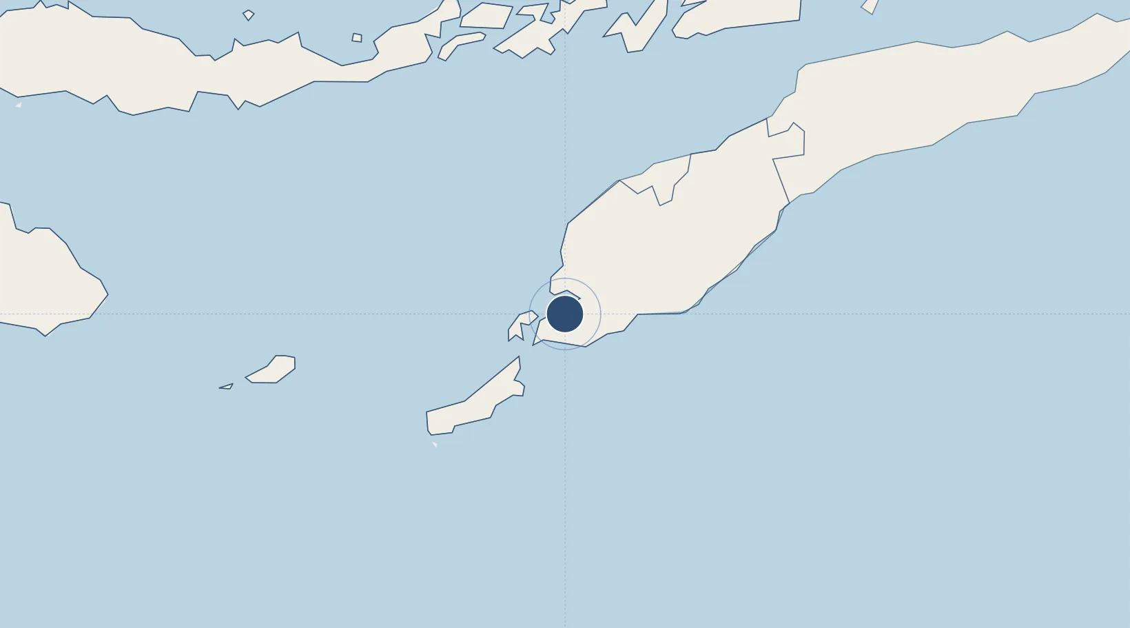
-10.1716°, 123.6710°
8,202 ft
Longest runway
2
Runways
335 ft
Elevation
Runway & Layout

Radio Frequencies
TWR
118.3 MHz
INFO
341.6 MHz
KUPANG INFO
Navaids
KPG VOR-DME Kupang 112.20 MHz
OK NDB Kupang 385 kHz
Runways · 2
| Runway | Dimensions | Surface | True heading | Lit |
|---|---|---|---|---|
| 07/25 | 8,202 × 148ft | Asphalt | 076° | ✓ |
| 12/30 | 4,175 × 210ft | Graded earth | 125° | — |
Airport Specifications
IATA code
KOE
ICAO code
WATT
Airport class
Medium airport
Scheduled service
Yes
Runway surface
Asphalt
Served city
Kupang
Location
Nearby Logistics Neighbours
Airports
Cities
- 1Kupang, Timor16 km
- 2Kalabahi236 km
- 3Challis Venture (oil Terminal)261 km
- 4Dili275 km
- 5Montara Field327 km
DatabookThe Record of Consolidated Knowledge
Indonesia beyond logistics?