UN/LOCODE hub · Indonesia
IDKOE
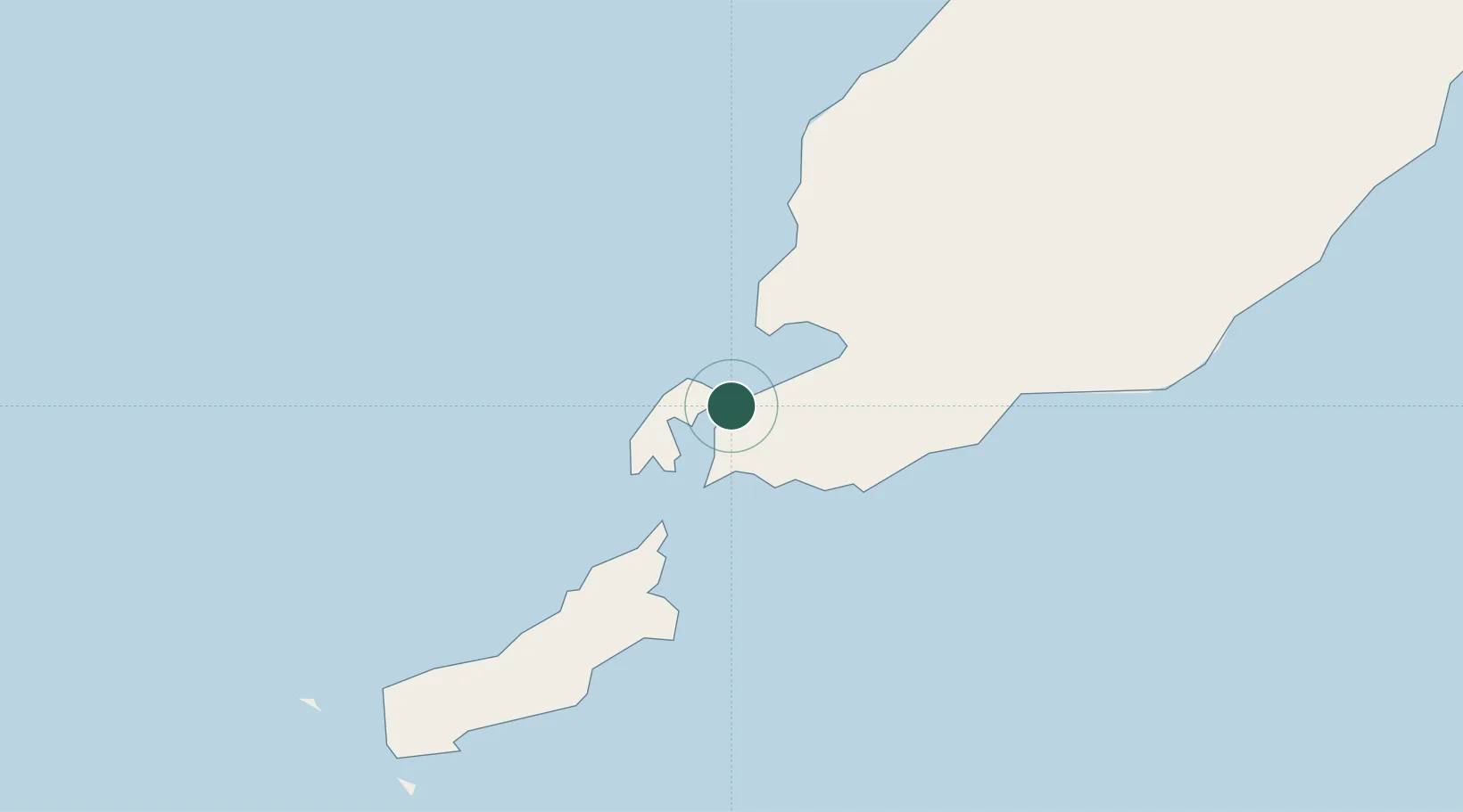
Kupang, Timor
-10.1981°, 123.5278°
2
Transport functions
1
Container terminals
Transport Functions
Port
Airport
Hub Profile
Logistics facilities
1
Container terminals
1
Location
Nearby Logistics Neighbours
Cities
- 1Kalabahi246 km
- 2Challis Venture (oil Terminal)268 km
- 3Dili289 km
- 4Montara Field327 km
- 5Waingapu, Sumba362 km
Airports
DatabookThe Record of Consolidated Knowledge
Indonesia beyond logistics?