Channel & Berth Profile
Pilotage, Tugs & Services
Pilotage availableNO
Potable waterYES
MedicalNO
Facilities & Capabilities
Container—
Ro-Ro—
Liquid bulk—
Dry bulk—
Oil terminal—
Break bulk—
Dry dock—
RepairsNO
BunkeringYES
Rail link—
Dangerous cargo—
ISPS security—
Harbour Specifications
Harbour size
Small
Harbour type
Coastal (Natural)
Shelter
Poor
Water body
Celebes Sea; North Pacific Ocean
Tidal range
5 m
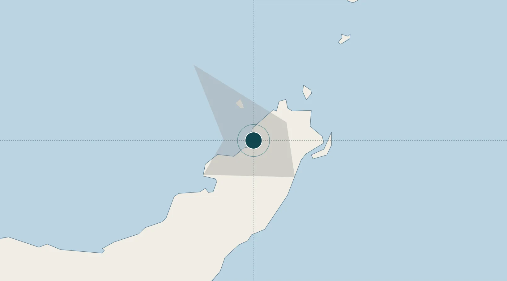
Location
Nearby Logistics Neighbours
Cities
- 1Bitung, Sulawesi41 km
- 2Gorontalo, Sulawesi221 km
- 3Anggrek239 km
- 4Sidangoli302 km
- 5Kau343 km
Airports
- 1Sam Ratulangi International Airport12 km
- 2Bolaang Mongondow Airport112 km
- 3Jalaluddin Airport241 km
- 4Naha Airport255 km
- 5Sultan Babullah Airport293 km
Trade Zones
- 1Bitung Special Economic Zone31 km
- 2KEK Likupang41 km
- 3KEK Morotai390 km
- 4Kamanga Agro-Industrial Economic Zone486 km
- 5Sarangani Marine Industrial Park488 km
DatabookThe Record of Consolidated Knowledge
Indonesia beyond logistics?