Seaport · Indonesia

LuwukIDLUW

-0.9500°, 122.8000°
6.4 m
Channel depth
8.3
Port liner connectivity
Luwuk is also a UN/LOCODE logistics hub →

Channel & Berth Profile

SEA LEVEL (CD)CHANNEL BEDChannel · 6.4 mCargo pier · 6.4 mOil terminal · 6.4 mAnchorage · 23.2 m
NGA World Port Index

Pilotage, Tugs & Services

Pilotage availableNO
MedicalYES
NGA World Port Index

Facilities & Capabilities

Container
Ro-Ro
Liquid bulk
Dry bulk
Oil terminal
Break bulk
Dry dock
RepairsNO
Bunkering
Rail link
Dangerous cargo
ISPS security
NGA World Port Index

Harbour Specifications

Harbour size
Very Small
NGA World Port Index
Harbour type
Open Roadstead
NGA World Port Index
Shelter
Good
NGA World Port Index
Water body
Banda Sea; South Pacific Ocean
NGA World Port Index

Liner Connectivity

8.3
PLSCI

Port Liner Shipping Connectivity Index for Luwuk, as published by UNCTAD for the latest available quarter. Higher values indicate stronger scheduled liner-shipping integration.

Shown relative to the highest per-port PLSCI in the dataset (1,657.9).
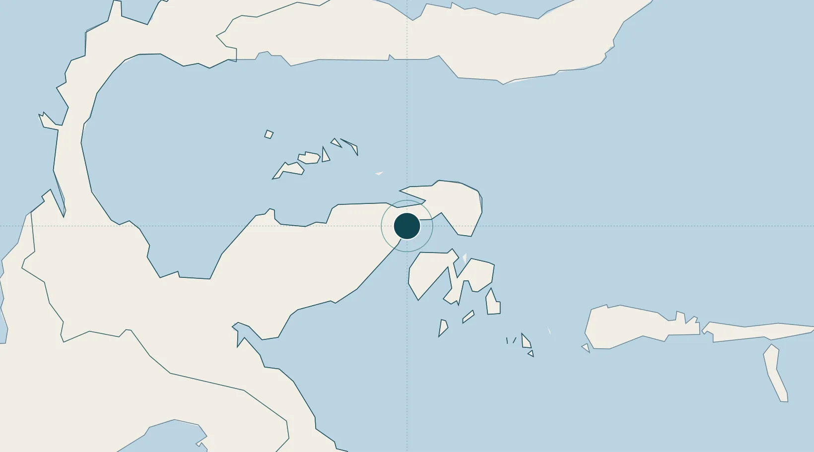
UNCTAD · Port Liner Shipping Connectivity Index

Location

Location of IDLUW
Natural Earth 10m (public domain) · Sulawesi Tengah · IDLUW · -0.95, 122.80GoogleOSMYandex

Nearby Logistics Neighbours

Ports
  1. 1Gorontalo164 km
  2. 2Kolonodale200 km
  3. 3Poso233 km
  4. 4Kendari336 km
  5. 5Manado354 km
Nearest neighbours — logibook spatial index (haversine) over the source coordinates
Cities
  1. 1Pagimana26 km
  2. 2Donggi89 km
  3. 3Ampana136 km
  4. 4Morowali177 km
  5. 5Kolonodale198 km
Nearest neighbours — logibook spatial index (haversine) over the source coordinates
Airports
  1. 1Syukuran Aminuddin Amir Airport10 km
  2. 2Tanjung Api Airport131 km
  3. 3Jalaluddin Airport177 km
  4. 4Maleo Airport188 km
  5. 5Kasiguncu Airport244 km
Nearest neighbours — logibook spatial index (haversine) over the source coordinates
Trade Zones
  1. 1Morowali Industrial Park220 km
  2. 2Palu Special Economic Zone327 km
  3. 3Bitung Special Economic Zone364 km
  4. 4KEK Likupang393 km
  5. 5Maloy Batuta Trans Kalimantan Special Economic Zone576 km
Nearest neighbours — logibook spatial index (haversine) over the source coordinates
DatabookThe Record of Consolidated Knowledge
Indonesia beyond logistics?
Browse databook

All Sources

Portsthe NGA World Port Index
Public domain (US gov)
Logistics performanceUNCTAD
CC BY 3.0 IGO
AirportsOurAirports
Public domain
LocationsUN/LOCODE
UN/LOCODE — free
Trade Zonesthe World Bank SEZ database
CC BY 4.0
Trade ZonesOpen Zone Map
CC BY
← Indonesia ports