Medium airport · Indonesia
Naha AirportWAMH
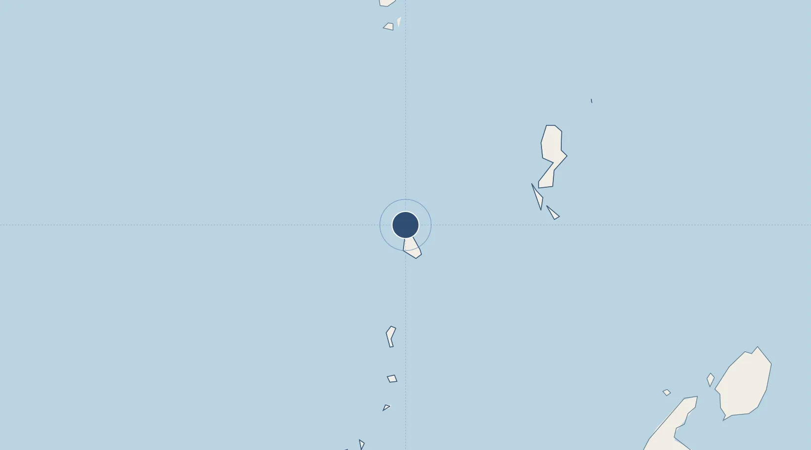
3.6848°, 125.5272°
3,597 ft
Longest runway
1
Runways
16 ft
Elevation
Runway & Layout

Radio Frequencies
A/G
123 MHz
INFO
Navaids
TA NDB Tahuna 400 kHz
Runways · 1
| Runway | Dimensions | Surface | True heading | Lit |
|---|---|---|---|---|
| 15/33 | 3,597 × 98ft | Asphalt | 150° | — |
Airport Specifications
IATA code
NAH
ICAO code
WAMH
Airport class
Medium airport
Scheduled service
Yes
Runway surface
Asphalt
Served city
Tabukan Utara, Sangihe Islands
Location
Nearby Logistics Neighbours
Airports
- 1Sam Ratulangi International Airport247 km
- 2General Santos International Airport268 km
- 3Rajah Buayan Air Base271 km
- 4Allah Valley Airport310 km
- 5Bolaang Mongondow Airport352 km
Cities
- 1Bitung, Sulawesi252 km
- 2Manado256 km
- 3General Santos271 km
- 4Astorga356 km
- 5Kalamansig358 km
Ports
- 1Bitung253 km
- 2Manado255 km
- 3General Santos273 km
- 4Mati371 km
- 5Davao376 km
Trade Zones
- 1KEK Likupang227 km
- 2Kamanga Agro-Industrial Economic Zone247 km
- 3Sarangani Marine Industrial Park250 km
- 4Bitung Special Economic Zone260 km
- 5Agrotex Gensan Economic Zone264 km
DatabookThe Record of Consolidated Knowledge
Indonesia beyond logistics?