Large airport · Indonesia
Sam Ratulangi International AirportWAMM
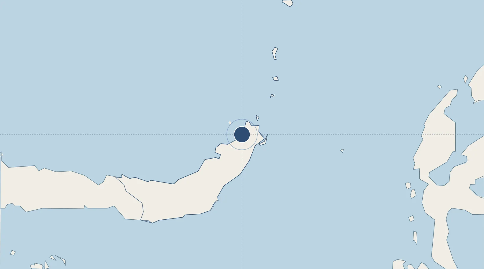
1.5486°, 124.9262°
8,693 ft
Longest runway
1
Runways
264 ft
Elevation
Runway & Layout

Radio Frequencies
ATIS
126.4 MHz
TWR
118.1 MHz
RATULANGI TWR
APP
119 MHz
MANADO APP
INFO
891.8 MHz
MANADO INFO
Navaids
MD NDB Manado 255 kHz
MNO VOR-DME Manado 114.20 MHz
MWB VOR-DME Manado 114.80 MHz
PN NDB Manado 290 kHz
Runways · 1
| Runway | Dimensions | Surface | True heading | Lit |
|---|---|---|---|---|
| 18/36 | 8,693 × 148ft | Asphalt | 182° | ✓ |
Airport Specifications
IATA code
MDC
ICAO code
WAMM
Airport class
Large airport
Scheduled service
Yes
Runway surface
Asphalt
Served city
Manado
Location
Nearby Logistics Neighbours
Airports
- 1Bolaang Mongondow Airport123 km
- 2Naha Airport247 km
- 3Jalaluddin Airport252 km
- 4Sultan Babullah Airport284 km
- 5Syukuran Aminuddin Amir Airport374 km
Cities
- 1Manado10 km
- 2Bitung, Sulawesi33 km
- 3Gorontalo, Sulawesi233 km
- 4Anggrek251 km
- 5Sidangoli293 km
Trade Zones
- 1Bitung Special Economic Zone26 km
- 2KEK Likupang29 km
- 3KEK Morotai379 km
- 4Kamanga Agro-Industrial Economic Zone480 km
- 5Sarangani Marine Industrial Park483 km
DatabookThe Record of Consolidated Knowledge
Indonesia beyond logistics?