Transport Functions
Port
Hub Profile
Place type
Populated place
Region
North Maluku
Time zone
Asia/Jayapura
Elevation
10 m
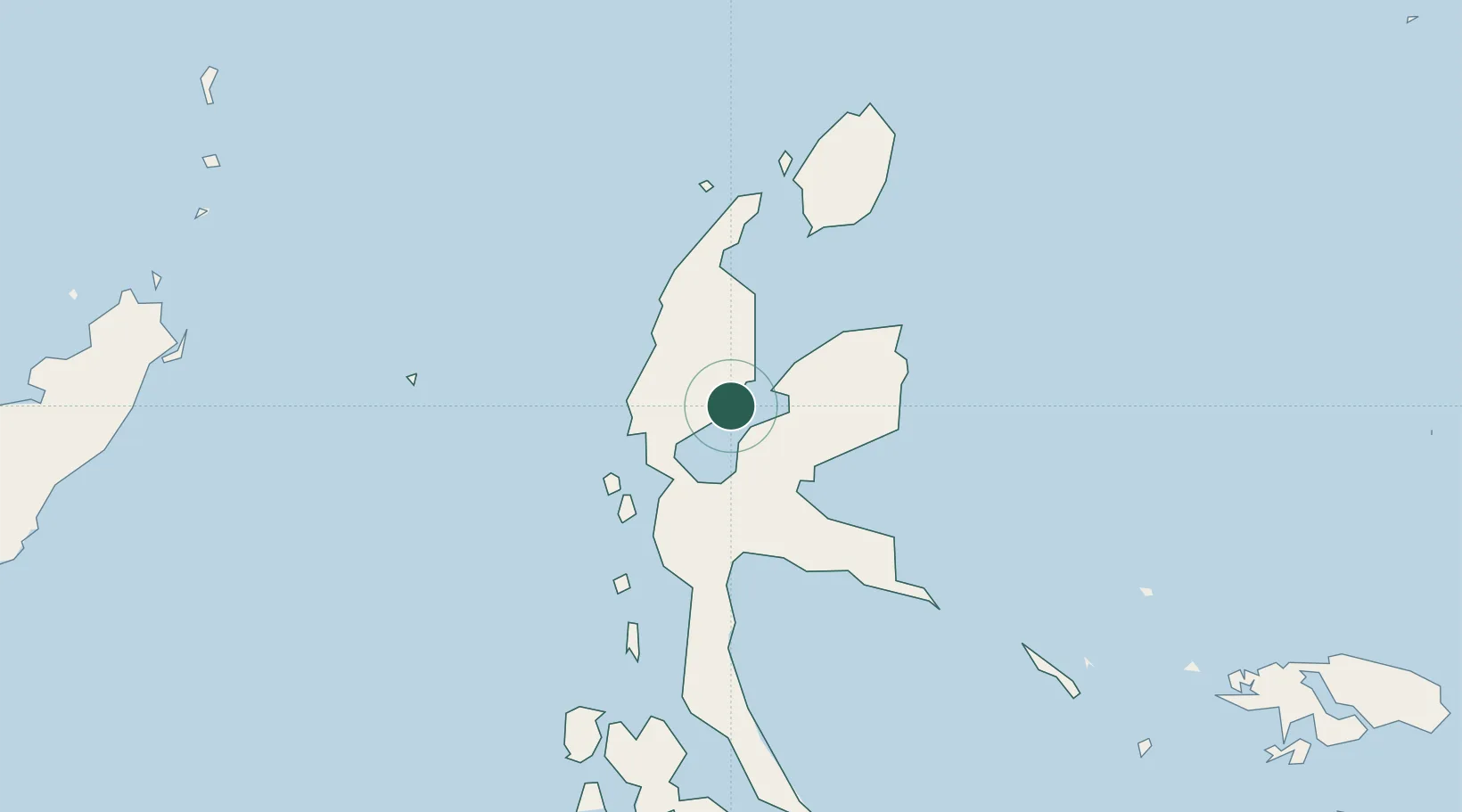
Location
Nearby Logistics Neighbours
Cities
- 1Akeselaka17 km
- 2Subaim31 km
- 3Tanjung Buli55 km
- 4Sidangoli56 km
- 5Mornopo57 km
Ports
- 1Ternate73 km
- 2Labuha208 km
- 3Bitung303 km
- 4Manado343 km
- 5Kasim Terminal443 km
Airports
- 1Sultan Babullah Airport70 km
- 2Pitu Airport107 km
- 3Sam Ratulangi International Airport333 km
- 4Marinda Airport366 km
- 5Naha Airport383 km
Trade Zones
- 1KEK Morotai111 km
- 2KEK Likupang310 km
- 3Bitung Special Economic Zone313 km
- 4KEK Sorong446 km
- 5Kamanga Agro-Industrial Economic Zone608 km
DatabookThe Record of Consolidated Knowledge
Indonesia beyond logistics?