Export Processing Zone · Philippines

Kamanga Agro-Industrial Economic Zone Active
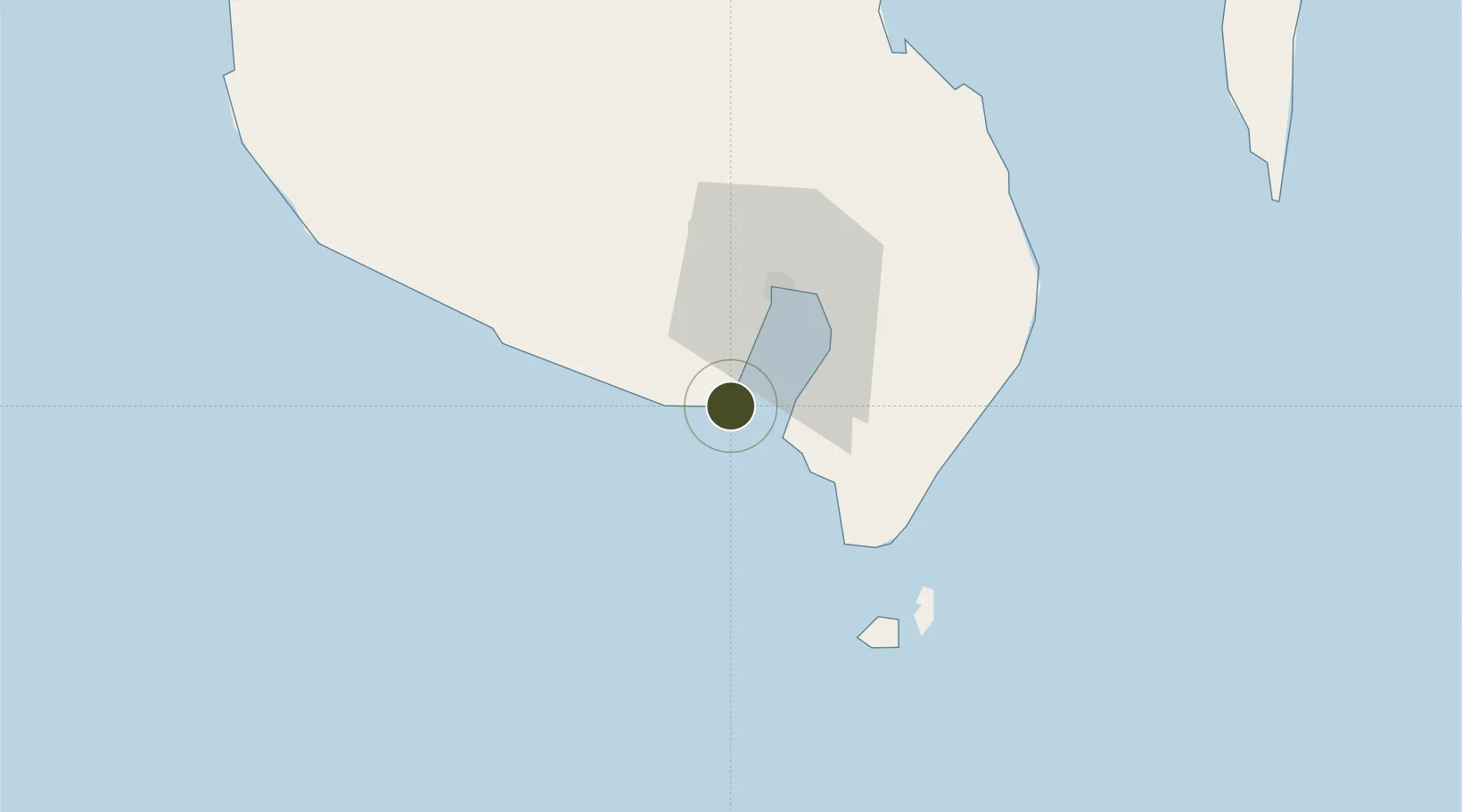
5.8634°, 125.0746°
54 ha
Zone area
30.6 km
Nearest port
21.7 km
Nearest airport

Gateway access

Nearest neighbours — logibook spatial index (haversine) over the source coordinates

Zone profile

Zone type
Export Processing Zone
Open Zone Map
Region
Sarangani
Open Zone Map
Status
Active
Open Zone Map
Management
Private
Open Zone Map
Operator
Kamanga Agro-Industrial Ecozone Development Corporation
Open Zone Map
Legal framework
Special Economic Zone Act (Republic Act No. 7916) (as amended by Republic Act No. 8748)
Open Zone Map

Location

Location of ozm-3253
Natural Earth 10m (public domain) · Sarangani · ozm-3253 · 5.86, 125.07GoogleOSMYandex

Nearby Logistics Neighbours

Ports
  1. 1General Santos31 km
  2. 2Davao147 km
  3. 3Mati175 km
  4. 4Polloc (Cotabato)191 km
  5. 5Iligan279 km
Nearest neighbours — logibook spatial index (haversine) over the source coordinates
Airports
  1. 1General Santos International Airport22 km
  2. 2Rajah Buayan Air Base32 km
  3. 3Allah Valley Airport67 km
  4. 4Central Mindanao Airport118 km
  5. 5Francisco Bangoy International Airport154 km
Nearest neighbours — logibook spatial index (haversine) over the source coordinates
Cities
  1. 1General Santos27 km
  2. 2Astorga121 km
  3. 3Kalamansig137 km
  4. 4Davao, Mindanao158 km
  5. 5DICT / SVT172 km
Nearest neighbours — logibook spatial index (haversine) over the source coordinates
Trade Zones
  1. 1Sarangani Marine Industrial Park3 km
  2. 2Agrotex Gensan Economic Zone20 km
  3. 3Gensan Economic Zone23 km
  4. 4Gensan Economic Zone23 km
  5. 5Millennium Industrial Economic Zone26 km
Nearest neighbours — logibook spatial index (haversine) over the source coordinates
DatabookThe Record of Consolidated Knowledge
Philippines beyond logistics?
Browse databook

All Sources

Trade ZonesOpen Zone Map
CC BY
Portsthe NGA World Port Index
Public domain (US gov)
AirportsOurAirports
Public domain
LocationsUN/LOCODE
UN/LOCODE — free
← Philippines trade zones