Transport Functions
Port
Airport
Postal
Hub Profile
Place type
Regional capital
Region
North Sulawesi
Population
451,916
Time zone
Asia/Makassar
Elevation
10 m
Logistics facilities
1
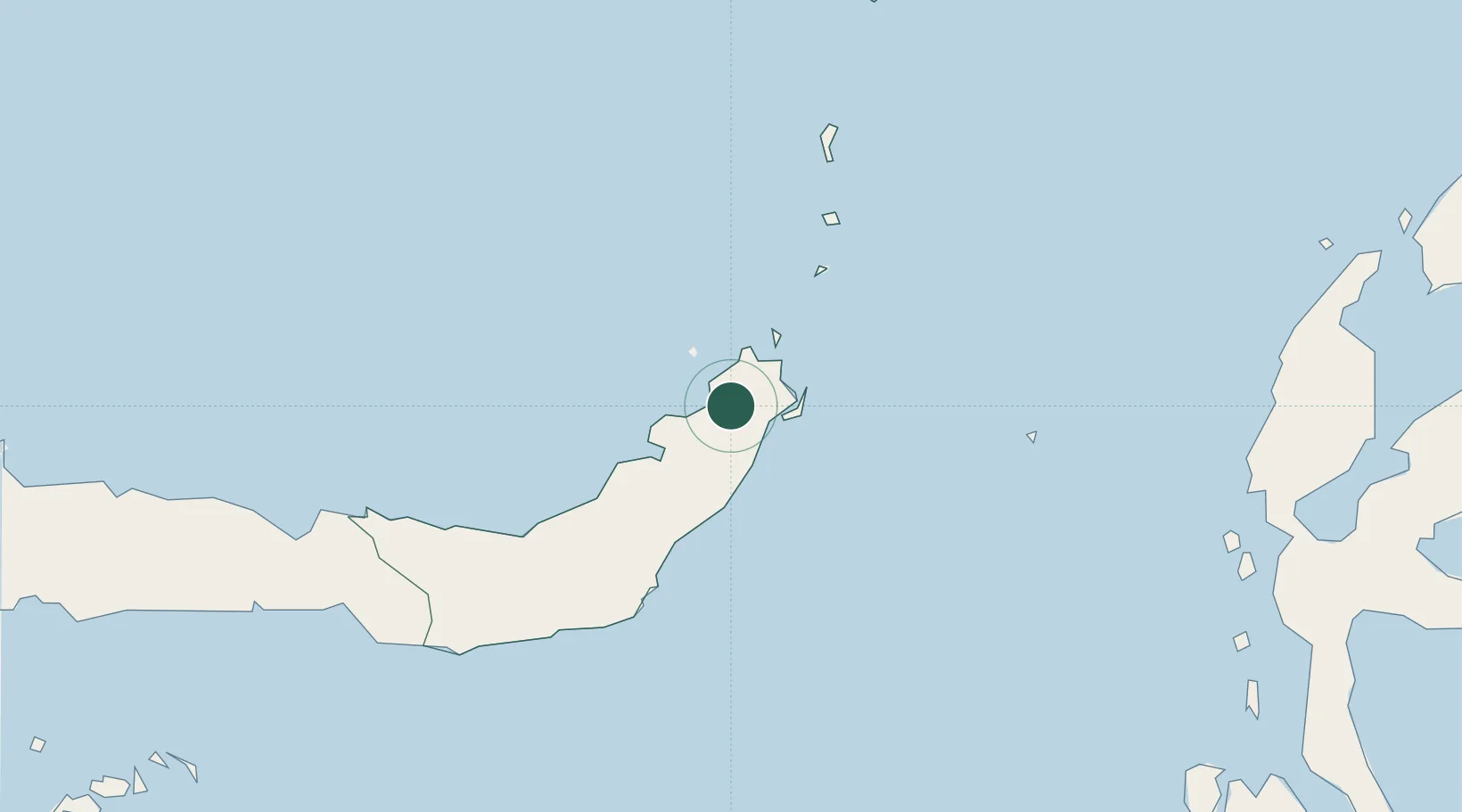
Location
Nearby Logistics Neighbours
Cities
- 1Bitung, Sulawesi30 km
- 2Gorontalo, Sulawesi230 km
- 3Anggrek248 km
- 4Sidangoli290 km
- 5Kau331 km
Airports
- 1Sam Ratulangi International Airport10 km
- 2Bolaang Mongondow Airport118 km
- 3Jalaluddin Airport249 km
- 4Naha Airport256 km
- 5Sultan Babullah Airport281 km
Trade Zones
- 1Bitung Special Economic Zone19 km
- 2KEK Likupang35 km
- 3KEK Morotai380 km
- 4Kamanga Agro-Industrial Economic Zone490 km
- 5Sarangani Marine Industrial Park492 km
DatabookThe Record of Consolidated Knowledge
Indonesia beyond logistics?