Medium airport · Indonesia

Sultan Babullah AirportWAEE
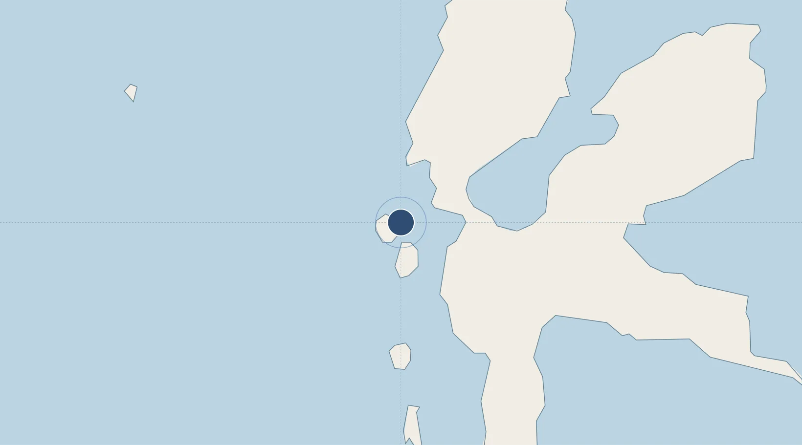
0.8310°, 127.3816°
5,875 ft
Longest runway
1
Runways
49 ft
Elevation

Runway & Layout

Sultan Babullah Airport runway & taxiway layout
Runway & taxiway layout — OpenStreetMap (ODbL) / OurAirports

Radio Frequencies

AFIS
122.4 MHz
INFO
RDO
905.5 MHz
TERNATE RDO
OurAirports

Navaids

TR NDB Ternate 265 kHz
OurAirports

Runways · 1

RunwayDimensions SurfaceTrue headingLit
14/32 5,875 × 98ft Asphalt 141°
OurAirports

Airport Specifications

IATA code
TTE
OurAirports
ICAO code
WAEE
OurAirports
Airport class
Medium airport
OurAirports
Scheduled service
Yes
OurAirports
Runway surface
Asphalt
OurAirports
Served city
Ternate
OurAirports

Location

Location of WAEE
Natural Earth 10m (public domain) · Maluku Utara · WAEE · 0.83, 127.38GoogleOSMYandex

Nearby Logistics Neighbours

Airports
  1. 1Pitu Airport171 km
  2. 2Sam Ratulangi International Airport284 km
  3. 3Bolaang Mongondow Airport372 km
  4. 4Naha Airport378 km
  5. 5Marinda Airport402 km
Nearest neighbours — logibook spatial index (haversine) over the source coordinates
Cities
  1. 1Sidangoli14 km
  2. 2Akeselaka70 km
  3. 3Kau70 km
  4. 4Weda79 km
  5. 5Subaim93 km
Nearest neighbours — logibook spatial index (haversine) over the source coordinates
Ports
  1. 1Ternate5 km
  2. 2Labuha163 km
  3. 3Bitung253 km
  4. 4Manado293 km
  5. 5Namlea459 km
Nearest neighbours — logibook spatial index (haversine) over the source coordinates
Trade Zones
  1. 1KEK Morotai174 km
  2. 2Bitung Special Economic Zone262 km
  3. 3KEK Likupang265 km
  4. 4KEK Sorong477 km
  5. 5Kamanga Agro-Industrial Economic Zone615 km
Nearest neighbours — logibook spatial index (haversine) over the source coordinates
DatabookThe Record of Consolidated Knowledge
Indonesia beyond logistics?
Browse databook

All Sources

AirportsOurAirports
Public domain
Portsthe NGA World Port Index
Public domain (US gov)
LocationsUN/LOCODE
UN/LOCODE — free
Trade Zonesthe World Bank SEZ database
CC BY 4.0
Trade ZonesOpen Zone Map
CC BY
InfrastructureOpenStreetMap
ODbL 1.0
← Indonesia airports