Transport Functions
Port
Road
Hub Profile
Place type
Populated place
Region
Gorontalo
Time zone
Asia/Makassar
Elevation
7 m
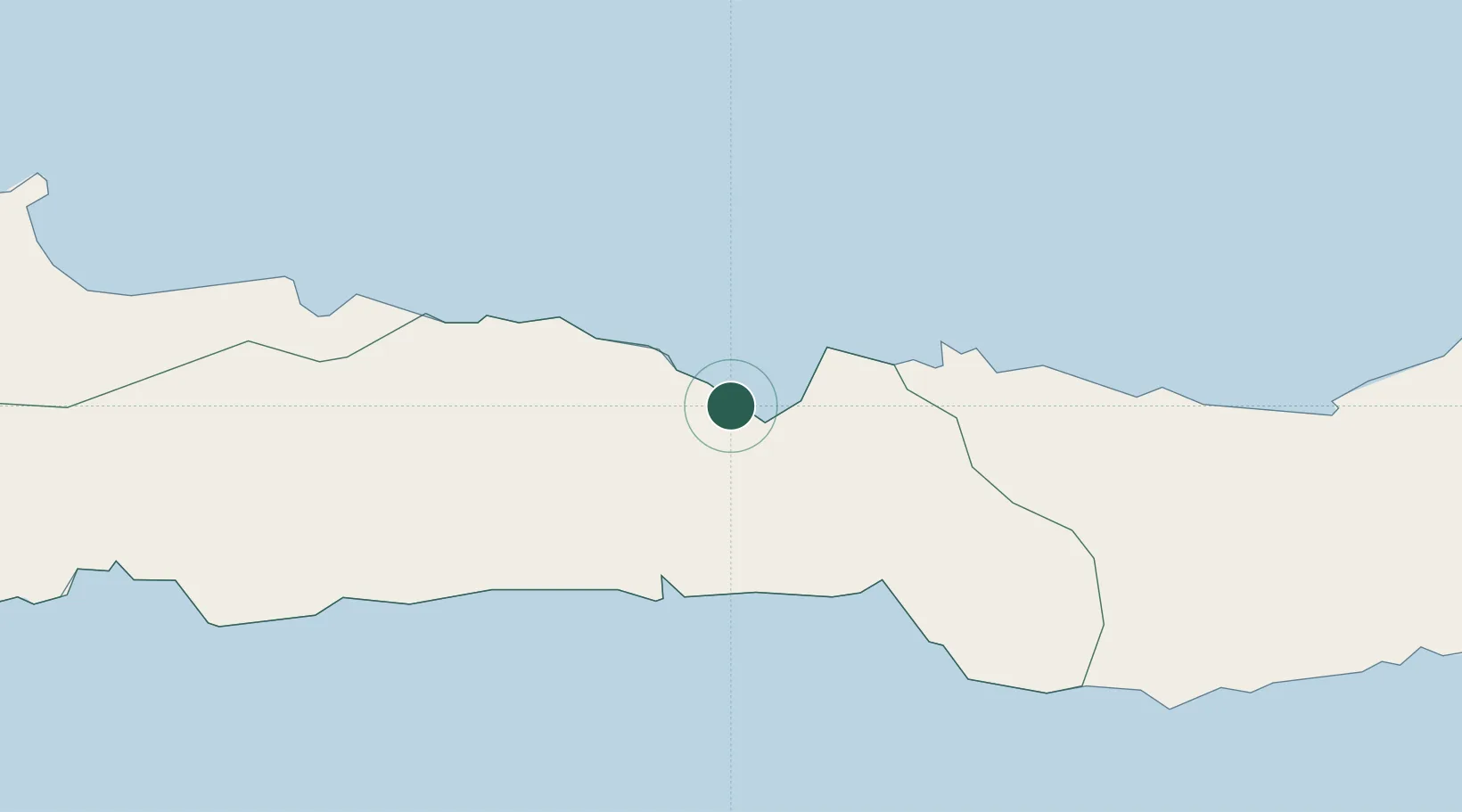
Location
Nearby Logistics Neighbours
Cities
- 1Gorontalo, Sulawesi18 km
- 2Pagimana184 km
- 3Luwuk200 km
- 4Ampana233 km
- 5Manado248 km
Airports
- 1Jalaluddin Airport25 km
- 2Bolaang Mongondow Airport139 km
- 3Buol - Pogogul Airport155 km
- 4Syukuran Aminuddin Amir Airport210 km
- 5Sultan Bantilan Airport223 km
Trade Zones
DatabookThe Record of Consolidated Knowledge
Indonesia beyond logistics?