Diversified Zone · Indonesia
KEK Morotai Active
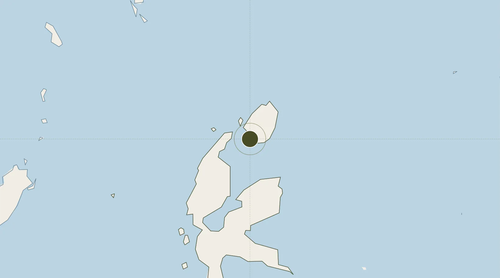
2.1042°, 128.2918°
1,101 ha
Zone area
178.2 km
Nearest port
7.5 km
Nearest airport
Gateway access
Zone profile
Zone type
Diversified Zone
Region
Maluku Utara
Status
Active
Management
Public-Private Partnership
Operator
PT Jababeka Tbk
Legal framework
Law of the Republic of Indonesia No. 39 Year 2009 Regarding Special Economic Zones
Location
Nearby Logistics Neighbours
Ports
- 1Ternate178 km
- 2Labuha318 km
- 3Bitung353 km
- 4Manado390 km
- 5Kasim Terminal485 km
Airports
- 1Pitu Airport8 km
- 2Sultan Babullah Airport174 km
- 3Naha Airport354 km
- 4Sam Ratulangi International Airport379 km
- 5Marinda Airport394 km
Cities
- 1Subaim111 km
- 2Kau111 km
- 3Akeselaka123 km
- 4Gee Island141 km
- 5Tanjung Buli141 km
Trade Zones
- 1KEK Likupang352 km
- 2Bitung Special Economic Zone365 km
- 3KEK Sorong479 km
- 4Kamanga Agro-Industrial Economic Zone550 km
- 5Sarangani Marine Industrial Park552 km
DatabookThe Record of Consolidated Knowledge
Indonesia beyond logistics?